

























































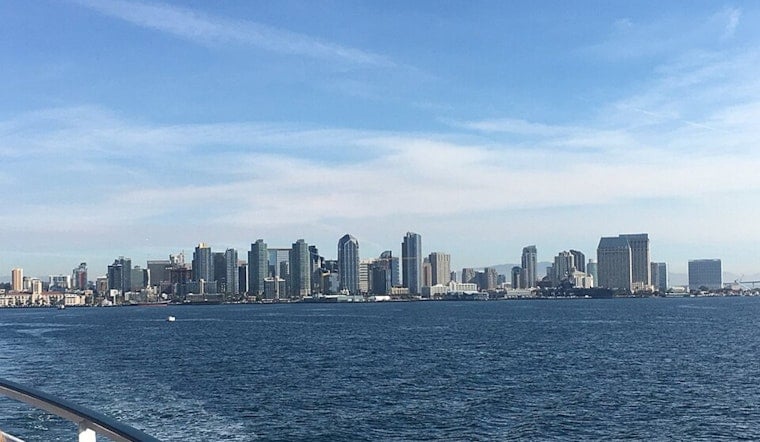
San Diego woke up to a wall of clouds and humidity today, with temperatures stuck around 70°F and the air feeling every bit of the low-80s humidity. By this afternoon, the sun is expected to muscle through, pushing coastal highs into the upper 70s to around 80°F, with inland neighborhoods climbing a few degrees hotter. Northwest winds stay on the mild side, with afternoon gusts up to about 20 mph. Overnight, it will not cool off much, with lows holding in the upper 60s, so true nighttime relief will be hard to come by.
Beach Hazards Tonight
A Beach Hazards Statement remains in effect through Tuesday evening, and the coastal drama will peak with astronomical high tides of roughly 7 to 7.5 feet combining with a modest south swell to produce 3 to 5 foot surf on south-facing beaches. According to the National Weather Service San Diego, that setup could send seawater into low-lying boardwalks, beach parking lots and nearby streets, with the most significant impacts expected during the evening high tides between about 8 and 10 p.m. on Tuesday, July 14, 2026. The agency also warns of a heightened rip-current risk and is telling people to stay out of the water.
Heat Risk Wednesday to Thursday
The heat builds as the week rolls on. A Heat Advisory is in effect from 10 AM tomorrow through 8 PM on Thursday, with Extreme Heat Warnings in place for many inland and desert areas. Inland highs could surge into the upper 90s to around 108°F in the Inland Empire, with lower desert areas potentially topping the low 110s, making overnight cooling difficult. For the broader setup and local flavor, see how fog hangs low as desert sizzles. Health officials and forecasters are pushing the usual playbook: drink plenty of water, avoid strenuous outdoor work during the advisory window, and check in on neighbors who may not have air conditioning.
Foggy Mornings, Sunny Afternoons
Despite the heat, the marine influence is not going anywhere just yet. Expect patchy fog late tonight into early tomorrow and again through about 11 AM tomorrow, especially along the coast and in low coastal valleys. Once the marine layer burns off, afternoons trend mostly sunny, and a breezy southerly flow is expected later in the week as humidity returns. Early commuters should budget a little extra time for reduced visibility and damp roads in the morning hours.
What To Watch For
This evening’s high tides pose the most immediate coastal flood concern. Avoid parking in vulnerable beach lots and skip strolling low boardwalks during the 8 to 10 PM tide window. Swimmers are urged to follow National Weather Service guidance to remain out of the water while rip currents are elevated. Anyone with medical vulnerabilities or without reliable cooling should have a concrete plan to stay safe tomorrow and Thursday. Local emergency pages and city services list cooling resources and heat-safety tips for residents.





