

























































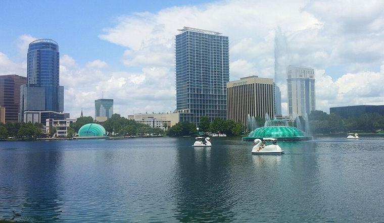
Orlando woke up to a sticky, muggy Saturday morning, with overnight lows in the mid-70s and a high near 93°F on tap. The day starts mostly sunny, but the atmosphere is primed for an afternoon storm window, with scattered showers and thunderstorms expected after about 2–3 p.m., especially inland near the I-4 corridor and Lake Okeechobee. Any stronger cell could dump heavy rain, fire off frequent lightning, and briefly derail outdoor plans and evening commutes.
Afternoon Storm Window
Storm coverage ramps up this afternoon, with roughly a 40% chance of showers and storms and even higher odds on Sunday and Monday. According to the National Weather Service in Melbourne, the active pattern should hold into early next week, and stronger storms could bring gusty to locally damaging winds, frequent lightning, and brief flooding where bands of storms repeatedly track over the same areas. The greatest coverage is expected inland, while coastal areas see fewer storms overall but still face a shot at late-day downpours.
Winds, Heat And The Coast
Southerly winds will pick up this afternoon to around 10–15 mph, with stronger gusts in and near thunderstorms, and even higher gusts possible Monday outside of any storms. Offshore seas will run about 2–4 feet, so small-craft operators should be cautious, and beaches will deal with a moderate rip-current risk during the stormier periods. Heat indices will spike into the 100–107°F range, so if you are outside, plan for breaks, shade and plenty of water.
Plan Ahead
If you have outdoor plans, the morning is your best friend. In the afternoon, keep an eye on a radar app so you can head for shelter quickly if storms pop up. For a local roundup of cooling options and the broader heat-and-storm setup, see local cooling options and storm outlook. When you hear thunder, get indoors and wait at least 30 minutes after the last rumble before going back outside.





.jpg)