

























































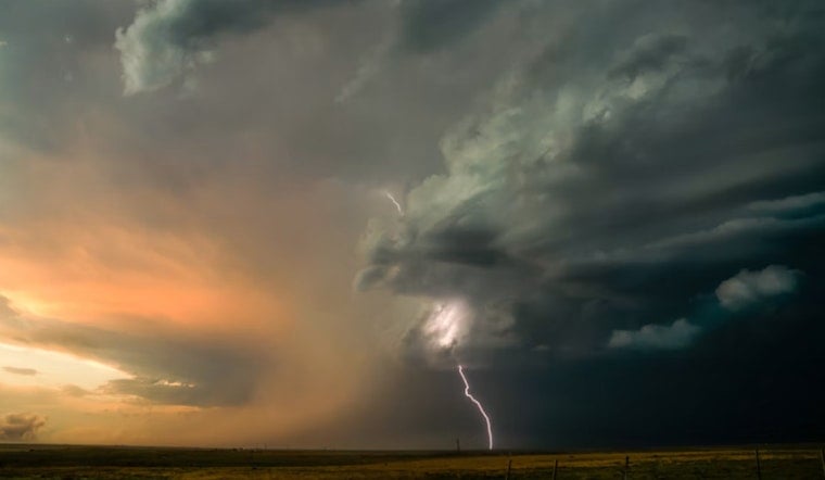
Early Sunday, July 12, Houston woke up to that classic Gulf Coast combo of clear skies and thick, muggy air, with temperatures around 81°F, a dew point near 75°F, and roughly 84% humidity at 5:35 a.m. CDT. From there, the mercury is expected to climb into the low 90s, while showers and thunderstorms become increasingly likely after about 10 a.m., especially inland and along the sea breeze. With heat building and heavy downpours in the mix, brief flash flooding is on the table for low-lying and urban spots.
Storm Timing And Flooding Risk
Showers and thunderstorms should ramp up in coverage through the afternoon, with storm chances sitting around 60% through the afternoon and evening and holding at similar odds into Sunday night. Most areas can expect new rainfall totals of about a tenth to a quarter of an inch, but the National Weather Service notes that training or slow-moving cells could dump higher amounts, leading to localized flash flooding in parts of southeast Texas. A marginal risk for excessive rainfall is in place Sunday, with a slight risk expanding for much of the area on Monday, so it is worth keeping an eye on updates if you have outdoor plans lined up.
Heat And Safety
Highs near 91°F today will feel hotter than the thermometer suggests, with heat index values potentially pushing around 105°F in the warmest spots this afternoon. For anyone needing a break from the heat, the City of Houston maintains listings of cooling centers and guidance, and residents can call 3-1-1 for help finding air-conditioned locations, according to the City of Houston Office of Emergency Management. Staying hydrated, limiting strenuous activity during peak heat, and checking on high-risk neighbors and pets remain good ideas.
Commute And Marine Outlook
Light southeast winds of 0–5 mph are expected through the day, but stronger gusts and brief visibility drops are possible in and near the sturdier storms, especially around the afternoon commute. Boaters can expect onshore winds and seas of about 2–4 feet, with elevated winds and choppier water near any thunderstorm. The unsettled, wet pattern is expected to hang around into Monday and Tuesday, followed by a trend toward drier, hotter conditions later in the week.





