

























































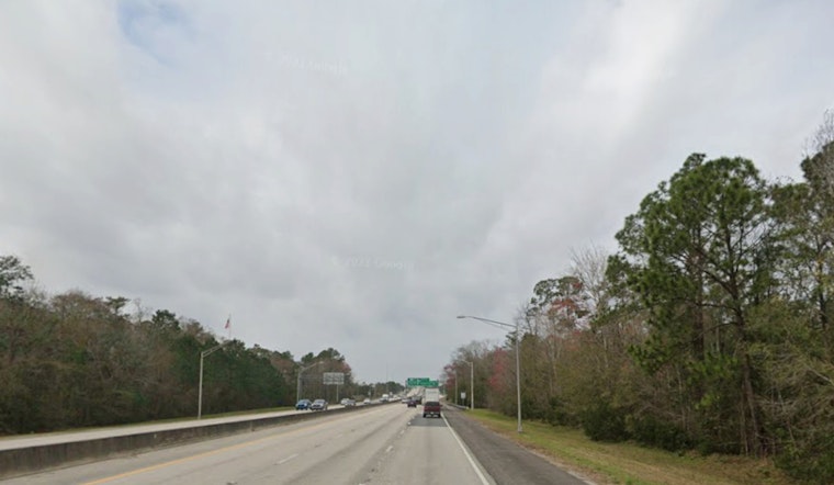
Jacksonville started Sunday on the soupy side, with clear skies, muggy air and temperatures parked near 77°F at local stations. The rest of Sunday, July 26, 2026, keeps the heat cranked up, with afternoon highs near 96°F and a good bet for showers and thunderstorms after noon that could dump brief, torrential downpours.
Afternoon Storm Threat
The main storm window opens after midday, especially from the I-95 corridor west toward US-301. Daytime storms in that zone could drop about one half to three quarters of an inch of rain, with localized flooding where cells linger. Some storms may muscle up, packing gusts of 40 to 60 mph, frequent lightning and brief bursts of heavy rain that can quickly slash visibility and knock down small branches. These impacts are flagged by the National Weather Service, which is updating details through NWS Jacksonville.
Tonight Into Monday
Storms should lose steam after sunset, but showers and thunderstorms remain likely before 3 a.m. Monday, July 27, 2026. Overnight lows stay in the upper 70s, and any slow-moving storms could wring out 1 to 2 inches of rain in spots. West to southwest winds will run about 8 to 12 mph, with brief higher gusts near stronger cells. Expect ponding on low-lying roads and slower trips where the heaviest rain sets up.
Beach And Travel Impacts
A moderate rip current risk is on tap at area beaches today and Monday, so swimmers are urged to stick to guarded beaches and follow lifeguard instructions. Back on land, those heavy afternoon downpours can gum up commutes and cause sudden ponding on urban streets. Drivers should avoid plowing through standing water and build in some extra travel time. Beach forecasts and rip current statements for Northeast Florida are available from NWS Jacksonville.
Heat Relief And Quick Tips
Heat index values are expected to soar into the 104 to 107°F range this afternoon, which makes prolonged outdoor activity during peak heat a risky move. The city activated a cooling contingency earlier this month, and residents without air conditioning are encouraged to check local cooling options and plan to stay hydrated, using City of Jacksonville information for resources. If you have outdoor plans, shifting them to the morning or picking another day could save you a lot of sweat and a possible headache.





