

























































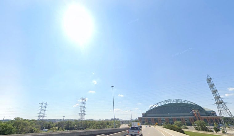
Milwaukee woke up Wednesday, July 22 to crisp, clear air and a cool 57°F at the airport, but Lake Michigan is in a foul mood. Sunshine will nudge afternoon highs into the mid‑70s, yet persistent onshore winds are whipping up trouble along the shoreline. If you are heading to the lakefront, it is a day to enjoy the view from dry land: stay out of the water and steer well clear of piers and breakwalls.
Beaches and Boating
A Beach Hazards Statement is in effect through 1 p.m. Wednesday, July 22 for Milwaukee County south to the state line, with life‑threatening waves of 4–7 feet and strong longshore currents. According to the National Weather Service in Milwaukee, "Stay out of the water and away from dangerous areas like piers and breakwalls." Translation: this is classic “great day to look at the lake, terrible day to be in it” weather.
Small Craft Advisories also remain for parts of Lake Michigan, so nearshore boaters can expect choppy, gusty conditions into the afternoon. It might be tempting to squeeze in a quick ride in the sunshine, but this is a day for extra caution, tight life jackets and short trips close to harbor.
Today and Short Term
The broader forecast is much friendlier. Sunny, dry air holds through Friday, with a high near 74°F today and a low around 59°F tonight as lighter southwest winds take over after sunset. This afternoon, northeast winds of 5–10 mph will keep the beaches breezy and noticeably cooler than inland neighborhoods, so expect that familiar Milwaukee split between hoodie weather at the lake and T‑shirt weather a few miles west.
Boaters and beachgoers should check the latest marine forecasts and advisories from NWS Milwaukee before heading out, since conditions along the shore will not necessarily match what you see out the window at home.
Weekend Outlook
By the weekend, the pattern flips to a more classic midsummer setup. Southerly flow late this week will push temperatures into the upper 80s by Saturday and Sunday, with a high near 89°F possible on Saturday. A slow‑moving frontal boundary will boost the chance for scattered showers and thunderstorms from Saturday night into Monday. Timing and storm corridors are still murky, so it is worth checking back for updates if you have outdoor plans riding on dry skies.
Humidity will climb alongside the warmer air, but current guidance keeps heat‑index values just under advisory levels for most of the metro. In other words, it will feel hot, not hazardous, as long as you stay hydrated and pace the yard work and patio time.





