

























































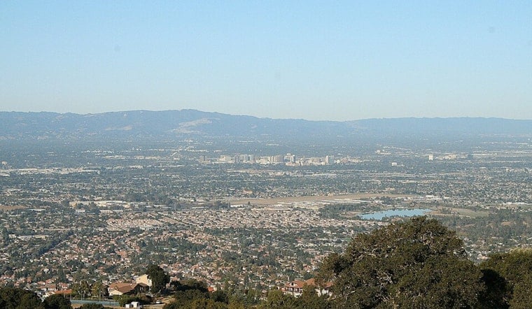
San Jose is waking up clear and cool today, with temperatures sitting in the low 60s and a high near 82°F expected this afternoon. Light north-northwest breezes will strengthen as the day wears on, while nighttime readings hold in the upper 50s. It should be a pleasant stretch for outdoor plans around the city, although wind will be more noticeable on exposed hills and bridge crossings.
Afternoon Winds Pick Up
North-northwest winds are set to increase this afternoon to roughly 2–12 mph, with gusts up to about 21 mph, especially on hilltops and across open crossings. This breezy pattern is expected to repeat each afternoon and evening through early next week, which could knock over loose bike cargo and make walking along exposed streets a bit less comfortable. According to the National Weather Service, those gusty afternoons will be the main day-to-day storyline through the start of the week.
Beach Hazards Remain On Coast
Pacific-facing beaches will stay hazardous through midweek as a long-period southwesterly swell continues to generate strong rip currents, sneaker waves and breaking waves up to 10 feet on some shorelines. Small craft advisories are in effect in parts of Monterey Bay and offshore, and gale warnings remain possible farther out to sea, so this is not the time for a casual boat trip until conditions calm down.
Plan Ahead
Temperatures will trend warmer by midweek, with highs expected in the mid-80s by Wednesday, then climbing to the upper-80s to around 90°F by Friday and Saturday, and the National Weather Service is already warning of a growing Moderate HeatRisk for some interior spots later in the week. Bring water and shade for outdoor activities, keep wind-sensitive items secured, and check the latest marine advisories if you plan to head out on the water. For the most current forecast updates.





