

























































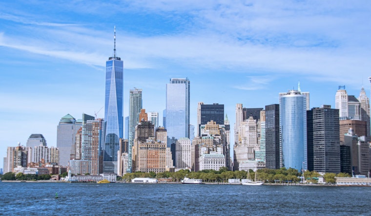
New York City wakes up to clear skies and comfortable humidity on Sunday, July 12, 2026, with temperatures hovering near 71°F and a light northeast breeze. After a run of unsettled weather, the city finally gets a break. Sunshine should hold through the afternoon with highs near 80°F, making it a prime day for park hangs and errands, as long as you keep an eye on those elevated tides tonight.
What To Expect Today
Forecasters are calling for a classic summer Sunday: plenty of sun, an east breeze around 6–10 mph, and an afternoon high close to 80°F. Tonight looks mostly clear with lows near 69°F, a comfortably mild finish. Meteorologists at the National Weather Service expect the dry, seasonable air to stick around through Monday before hotter, more humid air starts building in later in the week. If you are planning a long run, a playground marathon with the kids, or a backyard project, morning and late afternoon will be kinder than the peak midday heat.
Evening Tides
A coastal flood statement is in effect for a handful of vulnerable shorelines ahead of tonight’s high tide. The main concern is brief, low-level flooding in spots like parts of southern Nassau County, coastal Fairfield County, Staten Island, and some tidal stretches of northeastern New Jersey. The extra bump in water levels is tied in part to the upcoming new moon on July 14 and could bring short-lived street puddling or minor overtopping on waterfront roads and paths.
For a refresher on where these sneaky tides hit hardest, check our previous coverage, which includes tips on where flooding tends to pop up and how to avoid having your car stuck in the wrong spot when the water comes in.
Heat Returns Midweek
Starting Tuesday, a strong ridge builds in and flips the switch from comfortable to classic NYC swamp. Forecast highs rise to near 88°F on Tuesday, July 14, 2026, and climb into the low 90s, around 91°F, on Wednesday, July 15, 2026. Heat index values are expected to reach the mid 90s and could briefly top 100°F on Wednesday if humidity cooperates, which means heat advisories are on the table if the current guidance holds.
Anyone sensitive to heat should start planning now: drink more water than you think you need, scale back outdoor workouts, and map routes that include shady spots or air conditioned stops. It is the kind of setup where that “quick walk” can feel a lot longer than it looks on the map.
Beach And Boating Safety
At the beaches, today comes with a moderate risk of rip currents. Lifeguard flags and posted signs are your best clue about where and when it is safest to get in the water. If the flags are red, they mean it.
On the water, boaters should pay close attention from Tuesday into Wednesday. Southwest winds are expected to pick up and may push offshore seas toward 4–6 feet, with gusts potentially nearing 30 knots. That setup could trigger Small Craft Advisories. If you have ocean trips planned for the middle of the week, keeping an eye on the latest marine forecast and postponing nonessential runs if advisories go up is the smarter move.
Bottom line: enjoy a bright, comfortable Sunday, but move vehicles away from known low-lying waterfront streets before tonight’s high tide and start thinking about heat precautions as the week turns hotter. For the latest watches, warnings, and statements, check updates from the National Weather Service and local officials before you head out.





