

























































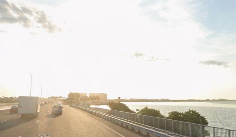
This morning in Tampa started out clear, sticky and already warm, with Tampa International reporting about 81°F and a dew point near 75°F. Light east-southeast breezes will not do much to cool things off, as highs climb toward 96°F and heat-index values push past 100°F by mid-afternoon.
Rip Currents, Swells and Timing
A Rip Current Statement remains in effect through this evening for Pinellas and neighboring Gulf-facing counties, with swells from Tropical Storm Bertha sending stronger surf toward local beaches. The advisory notes that these currents are powerful and can quickly pull swimmers away from shore, so anyone heading into the water should stick to staffed beaches and follow the posted flags. Isolated showers and a few storms may pop up after about 3 p.m., but coverage is expected to stay limited where storms do develop, according to National Weather Service Tampa Bay.
Safety and Practical Tips
If you are beach-bound, swim only where lifeguards are on duty and pay attention to the flags; red or double-red flags mean stay out of the water, no matter how tempting it looks. Inland, try to avoid heavy exertion during the hottest part of the day, keep water handy and get into air-conditioning if you start to feel light-headed. For more context on this week's surf and heat pattern, earlier reporting has tracked how the pattern is unfolding.
What To Expect Next
Moisture is set to increase Friday and through the weekend, bringing scattered to numerous afternoon storms with higher coverage over southern parts of the forecast area. Overnight lows will hold in the upper 70s, so the heat and humidity are not going anywhere; check updated forecasts before locking in outdoor plans, according to National Weather Service Tampa Bay.



