

























































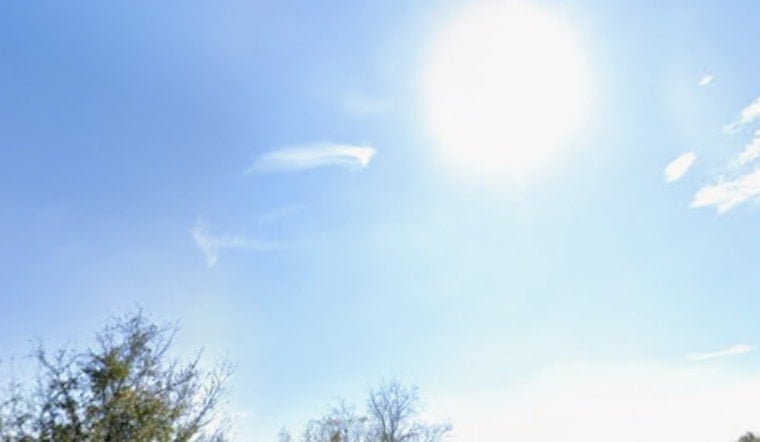
Tampa started Saturday, July 25, 2026, in a familiar summer mood: clear, muggy and already warm. Temperatures sat near 81°F before sunrise, with dew points in the mid 70s that made it feel sticky before breakfast. A hot, humid afternoon is on tap, with highs near 96°F and scattered showers and thunderstorms expected to pop up after 2 p.m. inland. Heat index readings could climb into the mid 100s, topping out near 109°F in some neighborhoods.
Afternoon Heat And Storms
Scattered storms should be most common over the interior and the Nature Coast later today, while the immediate coast may hang on to slightly drier conditions as a west to northwest breeze shoves the sea breeze inland. Any thunderstorm that develops could bring brief heavy rain, frequent lightning and gusty winds, which can quickly lead to ponding on roads and sudden drops in visibility. Expect spotty, fast moving downpours from about 2 p.m. into the early evening, with temperatures sliding back into the low 90s once storms fire up.
Heat Advisory For Parts Of The Nature Coast
The National Weather Service has posted a Heat Advisory from noon to 7 p.m. today for Levy, Citrus, Hernando and Sumter counties, where heat index values could peak around 108 to 109°F in the hottest inland locations. The advisory and the latest forecast details are available from NWS Tampa Bay.
Plan For The Commute
Those afternoon storms may drag down brief bursts of gusty wind and heavy rain that slow traffic and leave low lying spots with standing water, so it is worth building in extra time if you are on the roads between 2 p.m. and 7 p.m. Morning drive hours should be mostly smooth under plenty of sun, but any storm that pops up later can cause short notice delays. Outdoor events and flights could also see temporary interruptions during the peak of the afternoon thunderstorm window.
Heat Safety And Where To Find Relief
If air conditioning at home is not cutting it, the City of Tampa and Hillsborough County typically activate cooling centers during stretches of extreme heat, so check local pages for specific locations and hours. Basic heat safety still goes a long way: drink plenty of water, avoid strenuous outdoor work from late morning through midafternoon, check on older neighbors and keep pets indoors. For city information, see City of Tampa.
Looking Ahead
The pattern does not change much in the coming days. Through late next week, expect the usual diurnal sea breeze storms each afternoon, with highs easing into the low 90s and rain chances ticking higher toward midweek. Forecasts keep scattered showers and thunderstorms in the picture each day through Friday, so it is smart to keep outdoor plans flexible. Keep an eye on updates from NWS Tampa Bay if you have time sensitive plans later in the week.



