

























































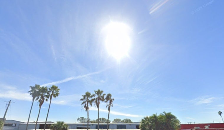
Tampa woke up sweating on Thursday, with mostly clear skies, temperatures already near 83°F, and a soupy dew point around 77°F. By this afternoon, the heat cranks up even more, with inland neighborhoods expected to surge into the upper 90s and some spots near 98°F.
The National Weather Service has issued a Heat Advisory for much of west central and southwest Florida from 11 AM to 8 PM on Thursday, July 9, warning that heat index values may top 110°F in some inland locations. Expect light south-southwest winds of 1–5 mph and only a sliver of rain chance today, but the humidity will make the midday and afternoon feel dangerously hot, according to the National Weather Service Tampa Bay.
When the Heat Peaks
The worst of the heat is expected in the mid-to-late afternoon, roughly between 2 PM and 6 PM, when heat-index readings are most likely to climb into the 107–110°F range. If you have to be outside, try to push heavy yard work, exercise, or jobsite tasks into the early morning or later evening, and take frequent water breaks in the shade.
Rain Chances and Near-Term Outlook
A drier pocket of air sliding over the area will keep the usual sea-breeze thunderstorms in check on Thursday, leaving most of Tampa rain-free for the day. Moisture returns Friday into the weekend, bringing a better shot at scattered showers and thunderstorms from Friday evening through Sunday.
Beat The Heat
Hydrate, stay in air-conditioned spaces when you can, and check on older relatives, neighbors, and pets during the hottest hours. If you need a cool place, the city often opens cooling centers during extreme heat — call 311 or follow local updates for locations and hours.
Hoodline published a related update yesterday. For background on the broader heat pattern and earlier coverage, see our previous piece earlier steam-room forecast.




