

























































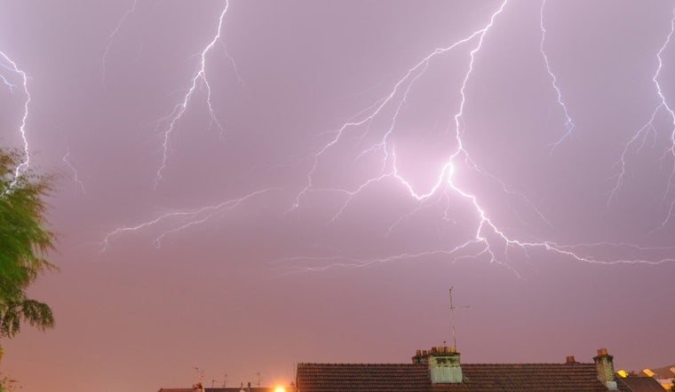
Philadelphia woke up on Wednesday, July 8 to a mostly cloudy, muggy start, with temperatures hovering near 70°F and patchy fog clinging to low‑lying neighborhoods. The fog is set to lift, sunshine returns this afternoon, and highs will climb to around 84°F with light east winds of roughly 5 mph. Riverside and Delaware‑shore spots stay a few degrees cooler, but attention is already shifting to Thursday, July 9 and Friday, July 10, when rounds of heavy showers and thunderstorms could bring quick downpours, localized flash flooding, and damaging gusts.
Today: Fog Then Mostly Sunny
Patchy fog should clear before about 8 a.m., giving way to mostly sunny skies for the afternoon and a comfortable, if sticky, day. Forecast highs sit near 84°F for much of the city, with onshore breezes keeping coastal neighborhoods a touch cooler in the upper‑70s. If you are trying to squeeze in outdoor plans, late morning to early afternoon remains your best bet.
Thursday–Friday: Heavy Rain, Flooding And Severe Storm Potential
Showers and thunderstorms are likely to ramp up Thursday afternoon into Thursday night, with roughly a 70% chance of storms in the metro by late afternoon. According to the National Weather Service, forecasters are watching for efficient downpours that could produce flash flooding in urban and low‑lying areas, and there is a marginal risk for severe storms, mainly damaging wind gusts. New rainfall amounts of about a half‑inch to three‑quarters of an inch are possible in spots Thursday night, with additional rounds of rain and storms possible on Friday.
Friday: Hotter With Repeated Storm Chances
Friday, July 10 looks hotter, with highs near 90°F and heat indices climbing into the mid‑90s to near 100°F inland. That extra heat and humidity will help fuel another round of afternoon and evening storms, with the strongest cells again capable of heavy rain and damaging winds.
Plan Ahead
Consider moving outdoor plans earlier in the day or indoors where possible, know a quick route away from low‑lying streets, and do not drive through flooded areas. For background on the recent heat and the city’s cooling resources, see our steamy flood watch report, and check local alerts before heading out.
Where To Find Help
If you or someone you know is vulnerable to heat, call 311 or the PCA Heatline at 215‑765‑9040 for locations of cooling centers and assistance. Keep an eye on official updates from the National Weather Service and local emergency channels as conditions evolve.



