

























































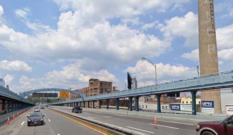
Philadelphia is starting Saturday with partly cloudy skies, temperatures around 73°F and plenty of humidity. The city gets one more mostly quiet summer day before showers and thunderstorms become the main story Sunday night and Monday.
Saturday Stays Mostly Quiet
Saturday will turn partly sunny and hot, with a high near 89°F and south winds generally between 0 and 5 mph. The chance of rain is just 3%, although a few very isolated pop-up showers could develop during the afternoon.
The National Weather Service’s Mount Holly office says the broader region should remain tranquil Saturday, with only sparse instability or sea-breeze showers expected. No watches, warnings or advisories are posted for Philadelphia or the surrounding area, according to the National Weather Service.
Sunday Night Turns Wet
Sunday will be mostly cloudy with a high near 88°F, and a 30% chance of showers and thunderstorms late in the afternoon. The rain odds jump sharply after sunset, with an 80% chance of showers and thunderstorms Sunday night and rainfall totals potentially reaching three-quarters of an inch to 1 inch.
That makes Saturday the better bet for outdoor plans, while Sunday evening could bring a messy turn. Downpours may be heavy at times, so low-lying streets and poor-drainage areas could become problematic if storms move over the same neighborhoods.
Monday Looks Like The Stormiest Day
Monday brings cloudy skies, showers and thunderstorms, with a high near 85°F and a 90% chance of precipitation. Another half-inch to three-quarters of an inch of rain is possible, and forecasters say repeated storms could increase the risk of flash flooding across parts of the region.
Unsettled Weather Lingers Into Midweek
Showers and thunderstorms remain possible Tuesday through Friday, even as temperatures climb back into the mid and upper 80s. Overnight lows should stay near 71 to 72°F, keeping the pattern warm, humid and a little too eager to produce another afternoon storm.





