

























































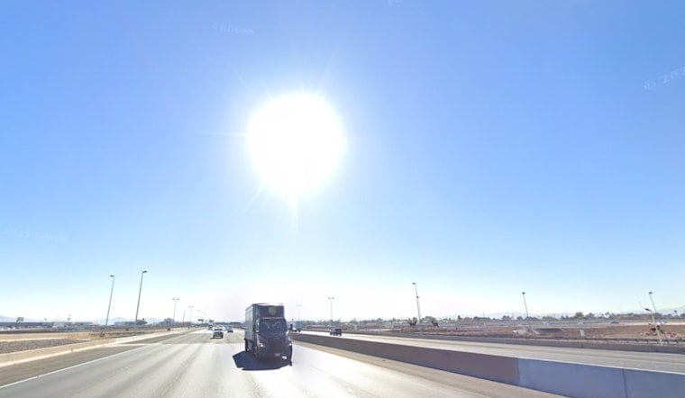
Las Vegas is already sizzling under clear skies this morning, with temperatures sitting in the mid‑80s and a high near 108°F expected today (Monday, July 6, 2026). Overnight lows will barely budge, hovering in the mid‑80s, which means the valley will struggle to cool off between heat spells. That combo of blistering days and hot nights ramps up the risk of heat illness for outdoor workers, older adults and anyone without solid air conditioning.
Afternoon Heat And Wind
Monday, July 6, stays sunny from start to finish, with south winds of 2–15 mph and gusts that could reach around 23 mph this afternoon. Gusty outflows may kick up dust in exposed spots. Plan on highs near 108°F today and only modest relief after dark, with temperatures expected to push into the low‑110s later this week.
Residents are urged to secure loose outdoor items and keep strenuous activities out of the midday window if possible. According to the National Weather Service, widespread Moderate HeatRisk and isolated Major HeatRisk are possible from Wednesday, July 8, through Saturday, July 11, 2026.
Plan Ahead: Cooling Centers And Safety
To help residents ride out the worst of the heat, Clark County has activated daytime cooling stations around the valley for anyone who needs an air‑conditioned break. Many libraries, recreation centers and community hubs are part of the network. Before heading out, check the county’s interactive map and downloadable list for hours and pet policies, according to Clark County.
Locals are advised to hydrate frequently, avoid heavy outdoor work between 11 a.m. and 6 p.m., and never leave children or pets unattended in parked vehicles under any circumstances.
Monsoon Watch
Forecasters are also keeping an eye on a possible shift to a monsoonal pattern later in the period, with added moisture and higher humidity potentially boosting chances for scattered showers or thunderstorms late this weekend into next week. Any storms that do fire up could bring dry lightning and gusty outflow winds rather than widespread rain, so fire‑weather concerns and strong gusts would still be on the table.
The National Weather Service will update precipitation chances if model trends change.
We covered Clark County’s activation of cooling stations in an earlier report on July 3; check local listings before heading out and try to plan outdoor activities for the early morning or late evening when possible. We'll post updates if watches or advisories are issued and when forecast details change.



