

























































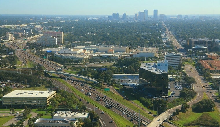
Tampa is starting Friday with clear skies and sticky air before the usual summer plot twist arrives: afternoon thunderstorms. Temperatures will climb toward 90 degrees, while the heat index may reach 99, making the morning the better window for errands, outdoor work and general optimism.
Storm chances increase around 1 p.m., with the best odds from midafternoon through early evening. The National Weather Service Tampa Bay forecast calls for a 70% chance of showers and thunderstorms, with quarter- to half-inch rainfall totals possible where storms develop; stronger cells could produce much heavier, localized rain.
Afternoon Storms Could Slow Roads
East-northeast winds will run 5 to 9 mph outside of storms, but downpours may bring sudden gusts, lightning and sharp drops in visibility. Friday night stays unsettled, with showers and thunderstorms possible before 9 p.m. and a few isolated cells lingering into the 9 to 10 p.m. hour.
Saturday follows the same basic script: mostly sunny early, then a 70% chance of showers and thunderstorms after about 2 p.m. The high should reach 91 degrees, with heat-index values as high as 101, while Saturday night remains mostly cloudy with another chance of storms.
Hotter, Drier Pattern Arrives Next Week
Sunday could be the hottest day of the weekend, with a high near 93 and a 60% chance of afternoon showers and thunderstorms. Rain chances ease Monday through Thursday, but highs remain in the low to mid-90s, with isolated or scattered storms still possible after 2 p.m.
No watches or warnings are listed in the forecast for Tampa or the Gulf waters. Anyone heading out during the afternoon should keep an eye on the sky, move indoors at the first sound of thunder and expect wet roads that can turn a short storm into a longer drive.





.jpg)