

























































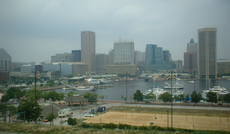
Baltimore starts Wednesday muggy, with temperatures in the mid-70s and showers and thunderstorms likely through the afternoon. The temperature should climb to near 87 degrees, but downpours could make for a messy morning and afternoon. The forecast calls for as much as a half-inch of rain in some spots.
The biggest concern early Wednesday is localized urban flooding. The National Weather Service says a warm front lifting north could bring heavy rain to the I-95 corridor, with some areas potentially receiving 1 to 3 inches. A Flood Watch remains in effect through 11 a.m. Wednesday for parts of the D.C.-area corridor, while Baltimore could still see brief heavy downpours and poor drainage issues.
Storms May Ease, But Muggy Pattern Sticks
Rain and thunderstorms are expected to be most active before 3 p.m., followed by a chance of additional storms into the evening. The weather service says the storms could produce brief torrential rain and gusty winds, although the overall threat of severe weather is lower. Storms that repeatedly move over the same area could still cause localized flash flooding.
Thursday brings mostly sunny skies early, a high near 92 degrees and heat-index values as high as 101 before another chance of afternoon thunderstorms. Friday and Saturday should also reach about 92 degrees, with showers and thunderstorms increasingly likely during the afternoon and evening.
Hotter Days Arrive For The Weekend
Sunday looks mostly sunny with a high near 92, while Monday could be the hottest day of the stretch at about 94 degrees. Each day through early next week carries at least some chance of showers or thunderstorms, so outdoor plans may need a backup option.
Boaters should also keep an eye on conditions Wednesday afternoon, when a Small Craft Advisory is in effect for some area waters from 2 to 8 p.m. Thunderstorms can bring frequent lightning and wind gusts above 35 mph, and southerly winds may contribute to additional high-tide flooding at sensitive coastal locations.





