

























































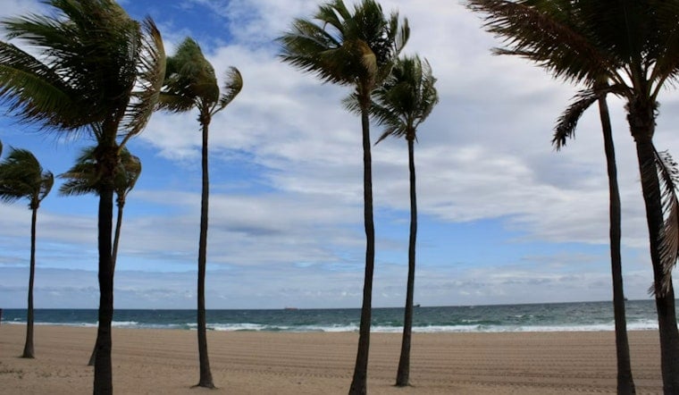
Honolulu is starting Monday with partly cloudy skies, temperatures near 78 degrees and a forecast that mixes sunshine with passing showers. The bigger concern for shoreline neighborhoods is minor coastal flooding around afternoon high tides, while fresh trade winds are expected to make the city feel noticeably breezy.
Scattered showers could drift through Monday morning before becoming more isolated later in the day. The high should reach about 87 degrees, with east-northeast winds between 13 and 18 mph and gusts up to 25 mph, according to the National Weather Service Honolulu.
Afternoon Winds And High-Tide Trouble
Rain chances ease from about 30% Monday to 20% Tuesday, but wind remains the more consistent feature. Monday night will be partly cloudy with a low near 77, followed by a mostly sunny Tuesday afternoon after a few isolated showers before noon.
A Coastal Flood Statement remains in effect through Tuesday at 6 p.m. for vulnerable low-lying coastal roads, docks, boat ramps and other shoreline infrastructure. Forecasters say peak monthly tides and water levels running higher than expected could bring isolated flooding, beach overwash and minor erosion during afternoon high tides.
Drivers should not attempt to cross flooded roads, and people with property near the shoreline should move vehicles, electronics and other valuables to higher ground. Boaters should also check mooring lines and watch for water washing over ramps during high tide.
Drier Midweek, More Uncertainty By Weekend
Wednesday through Friday should trend drier, with brief showers mainly before noon and highs holding near 87 degrees. Winds are forecast to strengthen to around 17 to 20 mph by Thursday and Friday, with gusts reaching the upper 20s in exposed areas.
Forecasters are also monitoring a disorganized area of thunderstorms roughly 1,100 miles east-southeast of Hawaii that could develop into a tropical cyclone by midweek. The National Hurricane Center outlook could lead to major changes in the weekend forecast if the system moves toward the islands, but any local effects remain highly dependent on its eventual track.
South Shore Surf Builds Later This Week
South-facing shores should see surf near the August average Monday, followed by a gradual increase beginning late Tuesday and continuing through Friday. The swell could approach advisory levels, while east-facing shores remain moderate to rough under the trade winds and north-facing shores stay small.
For now, Honolulu’s week looks warm and mostly workable for outdoor plans, with the usual island caveat: passing showers, stronger afternoon trades and a shoreline that deserves extra attention around high tide.



