

























































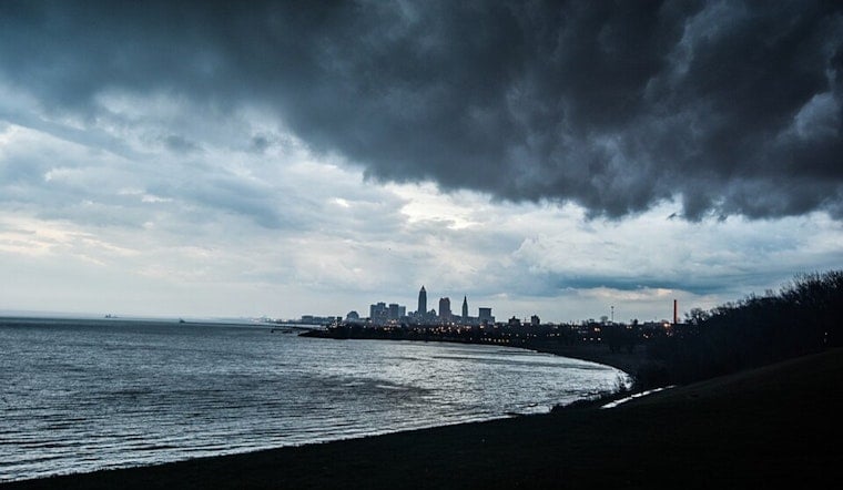
Cleveland is waking up today to light rain, fog, and temperatures near 70 degrees, with a stormy, humid day ahead. Showers and thunderstorms are likely through the morning, and another round could roll through during the afternoon and evening as temperatures climb to about 84 degrees.
Friday Brings Repeated Rounds Of Rain And Thunder
Morning rain is expected to spread east across the region, with a chance for a temporary lull before storms redevelop later in the day. The best odds for heavier showers and thunderstorms arrive from midafternoon into the evening, when downpours could produce a quarter- to half-inch of rain in some spots.
Southwest winds will stay relatively light at 3 to 7 mph, but the bigger concern is water piling up quickly in low-lying, poor-drainage and urban areas. Clevelanders heading out for work, errands or Friday night plans should keep rain gear nearby and allow extra time on wet roads.
Saturday Stays Warm With More Storm Chances
Saturday will remain warm, with a high near 85 degrees and a southwest wind around 12 mph. A few showers could linger before 7 a.m., followed by additional chances for showers and thunderstorms through the afternoon.
Rain chances ease Saturday night, when skies turn partly cloudy, and temperatures fall to around 70 degrees. The forecast calls for only a 30% chance of showers and storms after 8 p.m., offering a better window for outdoor plans than Friday.
Sunday Looks Like The Weekend Reset
Sunday is the most favorable day in the near-term forecast, with sunny skies, light west winds and a high near 85 degrees. The dry spell may be brief, however, as showers and thunderstorms become possible Sunday night and could continue into Monday.
Strong Storms Possible Sunday Night And Monday
The National Weather Service says strong to severe thunderstorms are possible Sunday night and Monday as a front moves through the Great Lakes. Damaging winds and heavy rain are the primary concerns, although the exact coverage and timing remain uncertain.
Monday is expected to reach about 85 degrees with an 80% chance of showers and thunderstorms, followed by a cooler, less humid stretch. Highs should settle into the upper 70s to low 80s by midweek, with periodic shower chances continuing through Thursday.




.jpg)