

























































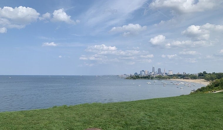
Today is starting quietly in Cleveland, with temperatures around 72 degrees under mostly clear skies. That calm setup will not last long: the city should reach the mid-80s before showers and thunderstorms begin moving in overnight.
Sunny Thursday, Storms Arrive Overnight
Mostly sunny skies will push Cleveland to about 86 degrees Thursday afternoon, with a light west wind between 5 and 8 mph. The National Weather Service in Cleveland says the bulk of the day should stay dry, though a slight chance of an afternoon shower remains.
Rain chances increase after 1 a.m. Friday, when scattered showers and thunderstorms could develop. Friday is expected to be mostly cloudy, warmer than a typical early-August day at around 84 degrees, with a 60% chance of precipitation.
Weekend Plans Face Repeated Rain Chances
Showers and thunderstorms may linger into Friday night, then continue intermittently Saturday, when Cleveland could reach 85 degrees. Saturday's rain chance is about 40%, with another chance of storms before 5 p.m. and a partly sunny afternoon in between.
Sunday offers a brief improvement, with mostly sunny skies and a high near 86 degrees, although a shower or thunderstorm could pop up after 2 p.m. The unsettled pattern returns Sunday night and Monday, when rain and thunderstorms become likely again, followed by a cooler Tuesday near 81 degrees with more showers.
Heavy Downpours Possible Into Next Week
The repeated storms may not be severe, but slow-moving downpours could produce locally heavy rain. The National Weather Service says localized flooding is possible in areas that receive several rounds of rainfall, although no watches, warnings, or advisories are currently posted for Cleveland.




