

























































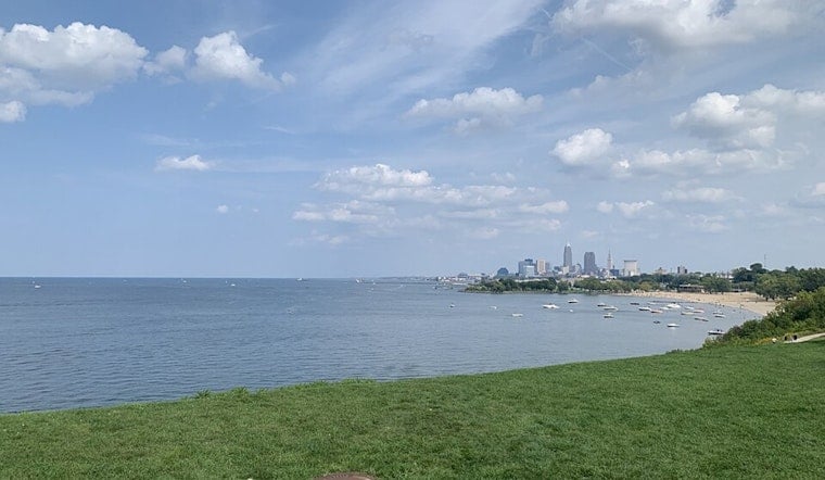
Cleveland is waking up clear and cool Saturday, with temperatures near 60 degrees before sunshine pushes the city toward a high around 83. The dry, comfortable day is a brief pause before a warmer run that peaks near 90 Tuesday and turns stormier by midweek.
Sunny Saturday, Warmer Sunday
Today will stay mostly sunny with a north wind around 7 mph and no rain in the forecast. Tonight turns mostly cloudy with a low near 68, followed by a partly sunny Sunday reaching about 85.
Heat Builds Through Tuesday
A slight chance of showers and thunderstorms arrives Sunday night after 8 p.m., with a 20% chance of precipitation, and Monday could start with a few showers before 8 a.m. Monday's high should reach 87, while Tuesday looks partly sunny and hottest at about 90.
The National Weather Service Cleveland office says heat-index readings above 95 degrees are possible in parts of the region early next week, particularly Tuesday and Wednesday. Heat-related headlines are possible if later forecasts hold, even though no watches, warnings or advisories are currently posted.
Storm Chances Grow Wednesday Night
Wednesday remains warm near 88 with a slight chance of showers and thunderstorms, but rain odds rise to about 50% Wednesday night. Thursday brings a 50% chance of rain showers before 2 p.m., followed by a smaller thunderstorm chance, with a cooler high near 82. Friday should finish the stretch near 80 with only a slight chance of morning showers.
For Cleveland outdoor plans, today through Tuesday currently offer the best stretch for dry weather, with the hottest afternoons arriving before the wetter pattern. Anyone working or exercising outside should plan for water, shade, and breaks as temperatures and humidity build.





