

























































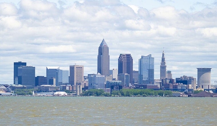
Cleveland's gray Monday start is only a brief introduction to a much hotter stretch. Temperatures will climb from the low 70s this morning to the mid-80s, with a few early showers or thunderstorms possible before the skies settle into a mostly cloudy afternoon.
Heat Builds Through Wednesday
A slight chance of showers and thunderstorms runs from roughly 7 a.m. through late morning Monday, with the overall chance of rain around 30%. The high should reach about 86 degrees, and the combination of heat and humidity could make it feel closer to the mid-90s or higher, according to the National Weather Service.
Tuesday looks mostly sunny and warmer, with a high near 88 and southwest winds around 9 mph. Wednesday is expected to be the hottest day of the stretch, reaching about 91 degrees under mostly sunny skies, so outdoor workers, runners and anyone planning a long afternoon outside should make room for water, shade and breaks.
Storm Chances Rise Wednesday Night
The weather turns more unsettled Wednesday night, when the chance of showers and thunderstorms rises to about 50%. Thursday keeps a similar storm threat, with a 50% chance of rain and thunderstorms, although the high should ease back to around 85 degrees.
Friday may start with another chance of showers or thunderstorms before turning partly sunny, with a high near 80. The latest timing and temperature outlook is a substantive update from Hoodline's Saturday forecast, which had placed the peak heat earlier in the week.
Weekend Brings A Cooler Reset
Conditions should improve for the weekend, with sunny skies, a high near 78 on Saturday and about 79 on Sunday. Overnight lows will also become more comfortable, falling to the mid-60s Saturday night after several muggy nights in the mid-70s.




