

























































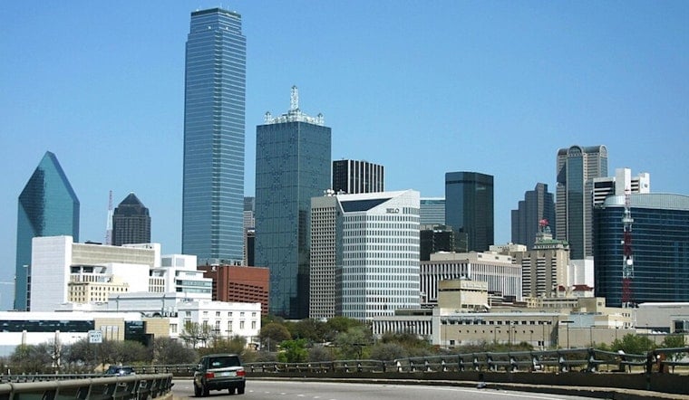
Dallas is starting today clear and is already in the mid-80s, with a triple-digit afternoon waiting down the road. The high should reach about 100 degrees, while a passing front turns winds north and trims the humidity more than the temperature. That makes the day feel a little less oppressive, but not exactly cool.
Saturday’s Front Brings Drier Air, Not Relief
The National Weather Service in Fort Worth says the front should bring noticeably drier air to North Texas, with north winds of 5 to 10 mph and gusts up to 25 mph. Rain chances are essentially zero around Dallas, and the forecast lists no watches or warnings. The latest forecast discussion says any storm chances are mainly farther south and east of the Dallas area.
Sunday Offers A Short Reprieve
Tomorrow should be sunny and dry, with a high near 98 and an overnight low around 76. By next Monday, the mercury is expected to hit 102, followed by 103 next Tuesday and highs near 101 to 102 through next Friday. Rain chances stay near zero across the forecast period.
Outdoor Plans Need A Heat Strategy
Today’s lower humidity may make early-morning errands more manageable, but afternoon sun and temperatures near 100 still call for water, shade and frequent breaks. The City of Dallas says residents can use city libraries, recreation centers and designated cooling centers for temporary relief, with hours varying by location. Dallas’ cooling-center guidance lists locations and heat-safety tips.





.jpg)