

























































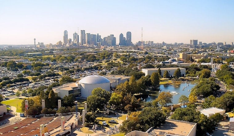
Dallas is starting today under clear skies and around 84 degrees, but the brief morning comfort will not last. The city is headed for another 101-degree afternoon, with a second triple-digit day waiting tomorrow.
Monday Brings Heat And An Ozone Alert
Temperatures will climb through the 90s before topping out near 101 degrees late today, with south winds at 5 to 10 mph and a heat index near 102. Monday is also an Ozone Action Day for Dallas-Fort Worth through midafternoon, according to Texas environmental officials, so residents are encouraged to limit driving, avoid unnecessary idling and conserve energy when possible.
Tuesday Stays Hot Before Moisture Moves In
Tomorrow will bring another sunny high near 101, while rising humidity could push the heat index as high as 105. The National Weather Service says a developing tropical system may send moisture into eastern Central Texas Tuesday night through Thursday, while dry conditions and an elevated fire threat continue across much of North Texas.
Dallas May Miss The Midweek Rain
For Dallas, rain chances remain near zero tomorrow night, then rise only to about 8% Wednesday and 10% Thursday. Highs should ease to around 98 degrees Wednesday and Thursday, but the heaviest rain is expected farther southeast, where some counties could see a quarter-inch to 1 inch.
Triple-Digit Heat Returns For Labor Day Weekend
Friday should stay near 98 degrees before temperatures climb back to about 100 Saturday and 101next Sunday, with overnight lows mostly in the upper 70s. The midweek moisture offers a small wrinkle to the all-week heat pattern outlined in Hoodline's earlier forecast, but Dallas is not currently set up for a meaningful cooldown.





.jpg)