

























































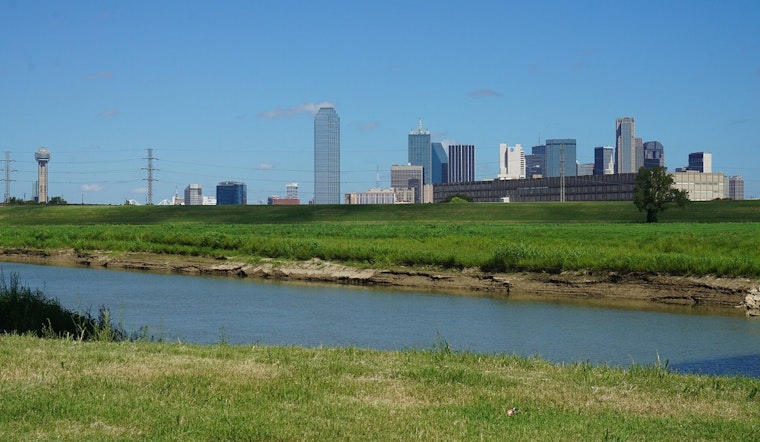
Dallas is starting today under clear skies, but the calm morning will give way to dangerous heat. The latest reported conditions put the temperature near 88 degrees, while the afternoon forecast calls for a high around 107. The heat index could reach 108, making outdoor plans especially risky.
Extreme Heat Warning Covers Sunday Afternoon
The National Weather Service has an Extreme Heat Warning in effect from noon to 9 p.m. today across North and Central Texas. Temperatures across the region could reach 104 to 109 degrees, with heat-related illness risks rising sharply during the hottest part of the day.
South winds will run about 5 to 10 mph, offering little relief from the heat. Anyone working or exercising outside should aim for early morning or evening hours, take frequent breaks in shade or air conditioning, and drink plenty of water. Children and pets should never be left in a parked vehicle, even briefly.
Triple-Digit Heat Holds Through Tuesday
Tomorrow is expected to be even hotter, with a high near 108 degrees and south-southwest winds gusting up to 20 mph. Tuesday should remain sunny and hot near 106, while overnight lows stay in the low to mid-80s and provide limited relief.
A slight chance of showers and thunderstorms returns Wednesday afternoon, but the chance of rain is only 20%, and most locations are expected to stay dry. Highs should still reach about 102 degrees Wednesday, Thursday, Friday and Saturday, keeping the week firmly in summer's overachiever category.
Cooling Options And Air Quality Concerns
The City of Dallas says residents needing temporary relief can use public facilities such as recreation centers and libraries during regular business hours. The city also identifies the West Dallas Multipurpose Center and MLK Community Center as cooling centers.
An Air Quality Alert is also in effect for a Sunday Ozone Action Day in the Dallas-Fort Worth area. Hot, dry weather is expected to increase the risk of new wildfire starts this week, although generally light winds should limit the potential for rapid fire spread.



.jpg)