

























































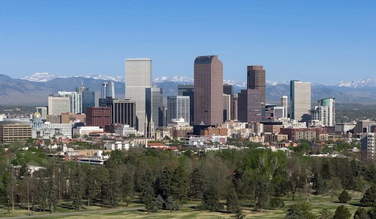
Denver is starting today clear and calm with temperatures in the mid-60s, but a 92-degree afternoon is on deck before showers and thunderstorms become possible after 1 p.m. Storm coverage should build through the afternoon and evening, bringing a chance of gusty winds, hail, and quick heavy downpours to parts of the metro and plains.
Storms Arrive After Lunch
The National Weather Service Denver/Boulder puts Saturday’s rain chance around 50%, with the best window from afternoon into early evening. The strongest storms are more likely across the plains, especially east of Denver, but storm-driven winds could reach the metro, with isolated hail and locally heavy rain also possible. No watches, warnings or advisories were in effect for the forecast area as of the latest update.
The setup is a notable shift from Hoodline’s earlier Denver forecast, which centered on the city’s recent heat streak. This weekend brings some relief from the hottest temperatures, but outdoor plans still come with a late-day weather asterisk.
Sunday Keeps The Heat And Storms
Sunday looks hotter, with a high near 93 and a 60% chance of showers and thunderstorms from midafternoon into evening. Monday stays mostly sunny and near 91 with a 30% storm chance, while Tuesday and Wednesday hover around 90 with additional afternoon storm chances.
Sunny And Hot By Friday
Storm chances gradually taper later in the week, but the heat does not fully let up: highs remain near 90 Tuesday through Thursday before climbing to about 94 under sunny skies Friday. For Saturday, keep an eye on the sky after lunch, secure loose outdoor items if winds rise and head indoors when thunder arrives.





.jpg)