

























































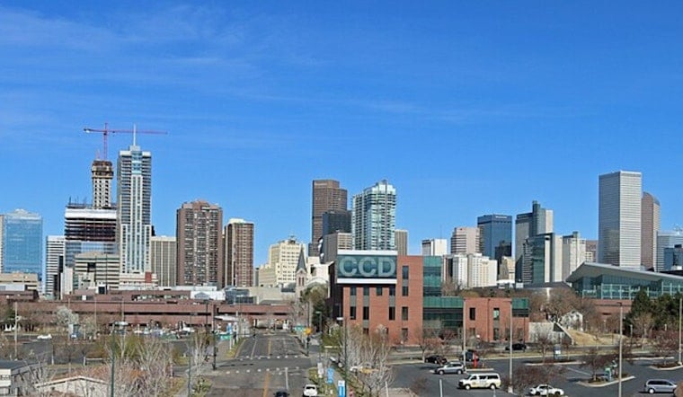
Denver is starting Tuesday with clear skies and a fast climb from the upper 60s into the 90s. Patchy smoke will linger, a few showers or thunderstorms could pop after noon, and a much cooler, wetter stretch is taking shape for the rest of the week.
Hot, Smoky Tuesday Brings Sudden Wind Risk
Tuesday’s high is expected to reach about 94 degrees under mostly sunny skies, with a roughly 20% chance of an afternoon shower or thunderstorm. The National Weather Service Denver/Boulder says high-based showers could produce powerful outflow gusts of 30 to 40 mph, even where little rain reaches the ground.
That makes the afternoon a tricky one for patio umbrellas, lightweight outdoor gear and anyone driving near a passing storm. Smoke may also reduce visibility or irritate sensitive lungs, so outdoor workouts are better handled earlier in the day if the haze thickens.
Storm Chances Increase Wednesday Through Friday
Wednesday brings a slightly cooler high near 92 degrees and a 50% chance of showers and thunderstorms, with wind gusts as high as 22 mph. The real pattern change arrives Thursday, when temperatures drop to around 81 degrees and the chance of rain jumps to 80%.
Friday stays cool by Denver summer standards, with a high near 79 and showers and thunderstorms likely after noon. Forecasters are warning that locally heavy rainfall and flash flooding may develop, especially as moisture increases Thursday and storms move more slowly.
Weekend Plans Need A Weather Backup
Showers and thunderstorms remain likely Saturday afternoon, with a high near 84, followed by another stormy Sunday near 85 degrees. Monday should rebound slightly to around 86, but afternoon thunderstorms will still be possible.
Overnight lows fall into the upper 50s to low 60s from Thursday through the weekend, a welcome break after Tuesday’s heat. For now, there are no watches, warnings, or advisories posted, but residents should head indoors when thunder arrives and never drive through flooded streets or underpasses.





