

























































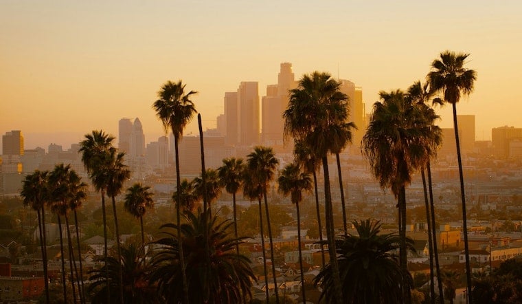
Downtown Los Angeles is starting Monday at about 65 degrees under partly cloudy skies, but the easygoing morning will give way to a mostly sunny afternoon near 88. The bigger story is the week ahead: temperatures are expected to reach around 90 Tuesday and Wednesday, then 91 Thursday before easing slightly this weekend. There is essentially no rain in the forecast.
Afternoon Heat Builds Through Thursday
Monday’s south-southwest wind will stay light, generally 0 to 10 mph, with the warmest part of the day arriving in the early afternoon. Tuesday and Wednesday will top out near 90, while Thursday is forecast to be the hottest day downtown at 91. The National Weather Service says the warmest locations face moderate heat risk Tuesday through Thursday, with above-normal overnight temperatures keeping many coastal and valley neighborhoods in the upper 60s to low 70s.
Fog Returns Late Tuesday
Tuesday night brings patchy fog between 11 p.m. and 5 a.m., with a low around 68 and mostly cloudy skies. Similar late-night fog is possible Wednesday night, while Thursday night should be mostly clear around a 69-degree low. Early commuters could see reduced visibility in spots, but afternoons should turn sunny or mostly sunny.
Weekend Cooling Is Modest
Friday and Saturday should remain sunny with highs near 90 and 89, followed by another sunny 89-degree day Sunday. Nights stay mild, around 69, so relief will be limited after sunset. Downtown Los Angeles is not listed in the current heat advisory, but forecasters say there is a 40% chance the area could need one beginning Wednesday as the heat peaks.
For now, plan strenuous outdoor activity for the morning or evening, drink plenty of water, and check on people and pets vulnerable to hot conditions.





