

























































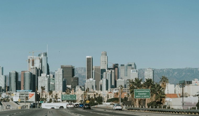
Downtown Los Angeles is waking up to a relatively mild 68 degrees Sunday morning, but the day is headed for a sunny high near 90 as an Extreme Heat Warning covers much of the region through 8 p.m. The forecast brings a little cooling Monday and Tuesday, though the week remains hotter than normal.
Sunday Is The Peak Heat Day
Temperatures will rise quickly, reaching the upper 80s by midday and peaking near 90 around 2 p.m. Southwest winds will run 5 to 10 mph in the afternoon, and rain is not expected.
The warning’s most dangerous heat is aimed at hotter valleys and mountain areas, where the National Weather Service says temperatures from 95 to 105 degrees will be common, with isolated hotter spots. Even in Downtown LA, warm overnight conditions and a long, sunny afternoon can raise the risk of heat illness for people working or exercising outside.
Cooling Arrives, But Summer Heat Stays
Monday should top out near 89, followed by 88 Tuesday, with patchy fog possible early Tuesday before skies turn mostly sunny. Wednesday and Thursday look a touch cooler near 87, then Friday and Saturday rebound to around 88.
The shift comes after a recent stretch covered by heat advisories, including earlier Hoodline coverage of Downtown LA’s late-July heat. Sunday’s warning raises the stakes for the hottest parts of the region, even as the downtown forecast remains below the most extreme readings.
Plan Around The Hottest Hours
Drink water, use air conditioning or another cool indoor space, and move strenuous work to early morning or evening. Check on older neighbors and anyone without reliable cooling, and never leave children or pets in a parked car.
If your heat escape route is the coast, conditions are not automatically easy: forecasters say moderate to locally strong rip currents may affect exposed south- and southwest-facing beaches. Ask a lifeguard where it is safe to swim, and avoid entering the water alone.



