

























































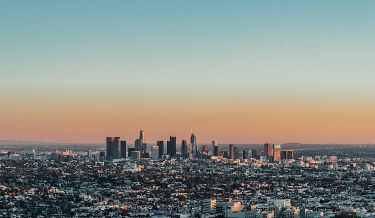
Downtown Los Angeles is starting Saturday with temperatures near 69°F, humid air and a few lingering morning clouds. The marine layer should thin by late morning, giving way to a mostly sunny afternoon with a high near 83°F. It is a relatively comfortable setup before a noticeable warm-up takes hold next week.
Saturday Turns Sunny By Late Morning
Temperatures should climb through the 70s and reach the low 80s during the afternoon, with southwest winds generally staying between 0 and 10 mph. Rain is essentially off the table, with a precipitation chance near zero, while Saturday night should turn mostly cloudy with a low around 66°F.
Heat Builds Through The Workweek
Sunday brings a high near 85°F, followed by about 86°F Monday. The forecast then reaches 89°F Tuesday and Wednesday before topping out near 90°F Thursday and Friday, according to the National Weather Service Los Angeles/Oxnard.
The weather service says moderate Heat Risk is expected to expand across much of the region from Tuesday through at least Thursday, with heat advisories possible in many areas. Downtown’s forecast is not calling for extreme temperatures, but the stretch of hotter, drier afternoons will be a clear change from this weekend’s milder start.
Cooler Nights Offer Some Relief
Overnight lows should remain in the mid-to-upper 60s through Friday, with mostly cloudy or partly cloudy skies at night before the pattern turns sunnier later in the week. Light winds will provide limited cooling, so people planning outdoor work, exercise or long afternoon outings should bring water, seek shade and check on anyone more vulnerable to heat.





