

























































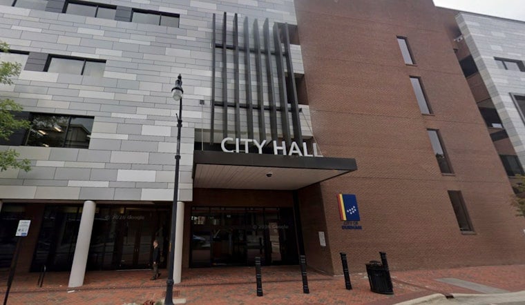
Durham City Council will sit down Thursday at 1 p.m. to weigh three starkly different futures for the Durham Freeway, a decision that could cost anywhere from roughly $450 million to $800 million and take up to two decades to pull off. At stake is whether the elevated highway that sliced through the city in the 1970s gets modernized, capped with new parks and plazas, or torn out altogether in favor of a walkable boulevard.
The freeway, built to connect Research Triangle Park to central Durham, is owned and maintained by NCDOT rather than the city itself, according to WRAL. That means any redesign will require the state's sign-off, along with federal money the city says it cannot raise on its own. Mayor Leonardo Williams has said Durham does not have the tax base to pay for this level of infrastructure alone, and that meaningful collaboration with state and federal governments is essential.
Three Paths, Three Price Tags
The freeway modernization option is the cheapest of the trio, estimated at about $450 million, and would bring targeted upgrades, a reduced downtown footprint, and auxiliary lanes meant to smooth traffic flow. But per the vision plan cited by WRAL, resident feedback indicates this option does not go far enough for many in the community.
A freeway cap, which would preserve the existing highway below while placing structural covers over it to reconnect neighborhoods and create new parks and plazas, could run between $450 million and $800 million over the next 10 to 20 years. According to the City of Durham Transportation Department, planning identifies Fayetteville Street, Mangum Street, and the stretch between Duke and Chapel Hill streets as specific locations where those caps could go, potentially reclaiming anywhere from 3 to 25 acres of land depending on the scenario. Williams has called the cap option his favorite, saying it could create real estate and reconnect communities despite the state's ownership of the land underneath.
The third option, boulevard conversion, would go furthest by removing the elevated freeway infrastructure entirely and replacing it with an at-grade urban boulevard featuring a restored street grid, new intersections and crossings, wide sidewalks, dedicated transit, and new housing opportunities. It carries an estimated price tag around $500 million and, according to the vision plan, has the strongest alignment with goals and values outlined by community members. It would also reclaim the most land of any option, an estimated 20 to 22 acres for public space and affordable housing, compared with the freeway cap and modernization scenarios.
A Community Still Living With the Damage
The stakes trace back to the freeway's construction in the 1970s, when the road destroyed historic Black communities including parts of the Hayti neighborhood, according to WRAL. The City of Durham Transportation Department's own account is blunter still, noting that construction of the Durham Freeway in the late 1960s and 1970s displaced hundreds of families and wiped out the vibrant Black commercial district of Hayti along with the nearby Brookstown neighborhood.
St. Mark AME Zion Church, which has stood at its site since the 1800s, predates the freeway itself. Its pastor, Julian Pridgen, told WRAL he hopes the plan becomes part of the community rather than remaining distant, adding that people are resilient and do not always forget. Pridgen said he remains hopeful that changes to the road could lead to better connections for the neighborhoods that lost so much.
Williams has framed the effort in similar terms, saying Durham acknowledges past wrongs and is using infrastructure and public policy to try to bring people back together. He has also said the city is reimagining how the road can work for everyone, not just the drivers passing through it.
What Other Cities Have Tried
Durham is not alone in reckoning with this kind of highway. Dallas and Denver have both added caps and parks over existing freeways in their downtowns, while Providence and Rochester have removed or realigned highways and expressways that had isolated whole sections of their cities, per WRAL's reporting. Those examples have informed Durham's own study, though no city has replicated Durham's exact history or geography.
NC 147 today still carries between 44,000 and 87,000 vehicles a day through central Durham, according to the City of Durham Transportation Department, a volume that any capping or boulevard conversion will have to accommodate. The corridor under review runs from Swift Avenue on the west to the East End Connector on the east, as detailed by Southpoint Access. That eastern connector itself is relatively new: NCDOT opened the 3.9-mile East End Connector in June 2022, linking NC 147 to US 70 and creating Interstate 885, which rerouted regional bypass traffic away from downtown Durham.
Years of Public Input, Years More to Go
The recommendations now headed to council followed a lengthy community engagement process. WSP USA Inc. handled the technical planning and design, while local groups Aidilisms, LLC and Be Connected Durham led outreach under the city's Equitable Community Engagement Blueprint, with a focus on the historic Black neighborhoods most affected by the highway, per the transportation department. That process reached more than 1,500 residents across two outreach phases, including nearly 800 survey responses gathered in spring 2024, Southpoint Access reports.
Whichever option council eventually favors, the timeline stretches far into the future. The transportation department describes a 5- to 25-year planning and delivery outlook, with environmental review, a partnership governance structure, preliminary engineering, and a funding strategy all still to come. Williams has pointed to federal programs like the Reconnecting Communities Pilot Program, created under the 2021 Bipartisan Infrastructure Law with $1 billion set aside over five years, as one avenue the city could pursue for money once a preferred option is chosen.
For now, Thursday's work session marks a milestone rather than a final decision. Durham City Council will discuss the three main options as part of the final vision plan for the freeway's future, with any construction still years away and contingent on securing cooperation from NCDOT and federal partners.





