

























































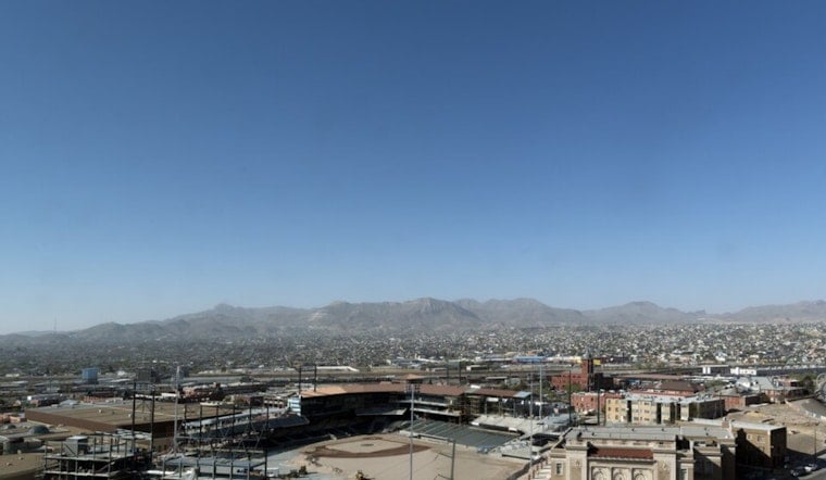
El Paso is heading into another scorching stretch, with sunny skies and a high near 102 degrees on Friday, August 21. Rain is unlikely across the city, and the triple-digit heat is expected to hang around through next week.
Dry Friday, With A Few Mountain Storms
El Paso’s lowlands have essentially no rain chance Friday, though isolated showers and thunderstorms could develop in higher terrain around midday. Any storm may bring a brief downpour and wind gusts of up to 45 mph, while city winds stay generally out of the east at 5 to 9 mph.
Triple-Digit Heat Extends Into Next Week
Saturday should reach about 101 degrees, followed by 100 on Sunday and 102 on Monday. Tuesday is expected to be the hottest day in the current outlook, with a high near 104, before temperatures ease slightly to 103 Wednesday and 102 Thursday.
Little Overnight Relief
Overnight lows will remain in the upper 70s, ranging from about 77 to 79 degrees through Thursday, August 27. The National Weather Service says drier air will shut down most storm chances after Saturday, with lowland humidity potentially dropping into the 10% to 15% range next week.
This is a more extended heat-and-dryness pattern than the earlier August outlook covered in Hoodline’s previous report. With several more days above 100 degrees ahead, residents should plan strenuous outdoor activity for early morning or evening and keep water close.





