

























































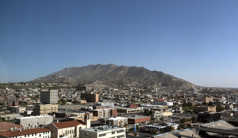
El Paso is starting Sunday under clear skies and dry air, with temperatures in the upper 70s early and an afternoon climb toward 101 degrees. The heat is only getting started: triple-digit highs are expected through the weekend, with Tuesday shaping up as the hottest day.
Triple-Digit Heat Takes Over El Paso
Sunday will stay sunny with an east-southeast breeze around 7 mph and only an 8% chance of rain. The temperature will fall to about 76 degrees tonight, but that will offer limited relief after a long, hot afternoon, according to the National Weather Service.
Monday's high is expected to reach 103 degrees, followed by 105 on Tuesday and 104 on Wednesday. Forecasters say the first half of the week could run 10 to 12 degrees above normal, with temperatures approaching daily records from Monday through Wednesday.
Dry Weather Keeps Rain Mostly Away
Rain chances will remain near zero in the El Paso lowlands through most of the week, while isolated thunderstorms are mainly expected to favor the mountains. A few storm chances return Thursday into next weekend, but the city is still expected to see mostly sunny or partly cloudy skies.
Afternoon humidity will drop into the lower to mid teens, adding to the strain of the heat even as winds remain relatively light. No watches, warnings, or advisories are currently posted for the El Paso area, but residents should limit strenuous outdoor activity during the afternoon, drink water regularly, and check on children, older adults, and pets.
Little Relief After Sunset
Overnight lows will stay in the mid to upper 70s, ranging from about 76 degrees Sunday and Monday nights to 77 or 78 later in the week. Highs should ease slightly to around 102 degrees Thursday through Saturday, but the forecast remains firmly in summer's deep end.





