

























































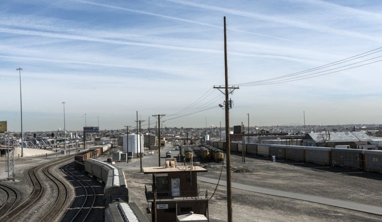
El Paso is starting Saturday mostly clear and around 75 degrees, but the desert heat will build quickly toward 98. Afternoon storms could bring brief downpours and localized flooding concerns as monsoon moisture spreads into the lowlands.
Storm Chances Rise Saturday Afternoon
The National Weather Service says showers and thunderstorms may develop after 1 p.m., with a 40% chance of rain and west winds around 5 mph. Most rainfall is expected to total less than a tenth of an inch, but the broader forecast discussion warns that storms can still produce sudden, localized flooding.
Storm chances continue into Saturday evening before midnight, then skies turn partly cloudy. The overnight low should settle near 76 degrees, keeping things warm even after the sun goes down.
Sunday Stays Hot With More Storm Potential
Sunday will be sunny for much of the day, with a high near 97 and a 30% chance of afternoon showers and thunderstorms. Forecasters expect storm coverage to be more widespread across the region, although rain in any one part of El Paso is likely to remain hit-or-miss.
Monday brings a brief return to dry, sunny weather with another high around 97. Tuesday climbs to 99 under mostly sunny skies, setting the stage for a hotter stretch later in the week.
Triple-Digit Heat Takes Over Midweek
Wednesday is forecast to reach 101 degrees, followed by highs near 102 on both Thursday and Friday. Overnight lows will remain in the upper 70s, with mostly clear or partly cloudy skies and little chance of rain.
No watches or warnings are in effect Saturday morning. Residents planning outdoor activities should prepare for intense afternoon heat, keep water nearby and avoid driving through flooded roads if a storm drops heavy rain nearby.




