

























































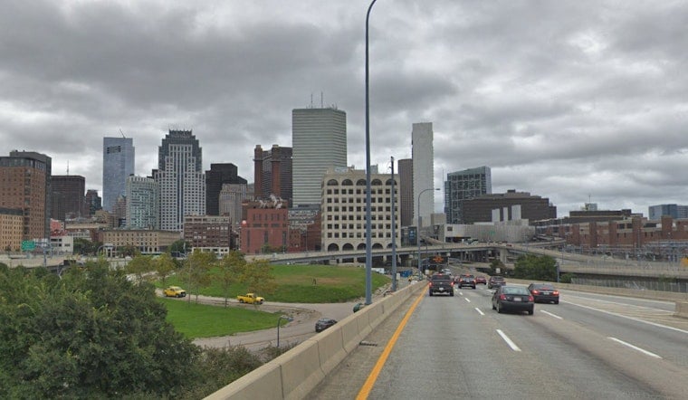
Boston is waking to a cloudy, damp Saturday with temperatures near 66 degrees and a high expected around 71. Showers may pop up through the afternoon, with late-day fog adding another layer of gray to the city’s waterfront and low-lying neighborhoods.
Showers Build Before A Wetter Night
The chance of rain reaches about 30% during the day, while northeast winds stay around 5 to 9 mph. The National Weather Service Boston/Norton says mist and drizzle will be the main daytime story, with steadier and potentially heavier rain arriving mainly after midnight.
Saturday night stays cloudy, foggy and cool, with a low near 64 degrees. Rain chances rise to about 50%, and new rainfall of roughly a tenth to a quarter-inch is possible, with the wettest conditions favored toward southeastern Massachusetts and Cape Cod.
Sunday Stays Gray Before The Sunshine Returns
Sunday brings more showers and patchy fog, with a high near 77 and southeast winds around 7 mph. The forecast discussion also leaves room for scattered thunderstorms farther inland Sunday afternoon, so outdoor plans west of Boston may need a backup option.
Beachgoers should be especially cautious along ocean-facing beaches in Plymouth and Barnstable counties, where a high risk for rip currents is posted through Saturday afternoon. Swells should ease Sunday, but the coastal water will remain a better place for careful swimming than casual confidence.
Monday Starts A Much Drier Stretch
The forecast takes a sharp turn Monday, when sunny skies and a high near 80 arrive behind the departing system. Tuesday and Wednesday look similarly pleasant, with sunshine, highs near 78 and mostly clear nights dipping into the low to mid-60s.
A slight shower chance returns late Thursday, followed by a more unsettled Friday with possible showers and thunderstorms. Friday’s high should remain seasonable near 77, making the early-week stretch the best bet for dry commutes, walks and outdoor plans.





