

























































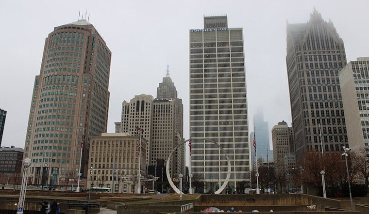
Detroit woke to mostly clear skies and temperatures around 72 degrees earlier today, but the calm start will not last. Patchy fog is expected to linger into the morning before showers arrive, with thunderstorms becoming the main weather story from late morning through the evening.
Storms Build Before Lunch
Rain chances increase after 8 a.m., with showers and fog possible through late morning. The National Weather Service Detroit/Pontiac office expects showers and thunderstorms to become more likely between 11 a.m. and 3 p.m., with another round possible late afternoon and early evening, especially along and south of I-69.
Today’s high should reach about 84 degrees before temperatures ease into the lower 80s. Downpours could be briefly torrential, with roughly a quarter- to half-inch of rain possible and localized flooding in urban and low-lying spots. The main concern is water collecting quickly during heavier storms, so outdoor plans may need a flexible backup.
Cooler, Calmer Start To The Week
Showers and thunderstorms remain possible into this evening before tapering off, while winds shift from the southwest to the northwest at around 9 mph. Overnight temperatures will fall to about 67 degrees, followed by mostly sunny conditions and a high near 82 tomorrow.
Another Storm Chance Arrives Midweek
Tuesday looks sunny and warmer, with a high near 85 degrees, but another cold front could bring showers and thunderstorms Tuesday night into Wednesday. Wednesday should be cooler near 78 degrees, followed by sunny or mostly sunny skies on Thursday and Friday with highs near 79 and 80. No watches, warnings, or advisories are posted for Detroit at this time.





.jpg)