

























































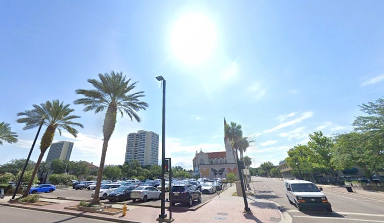
Jacksonville started Wednesday mostly clear and in the mid-70s, but the day is expected to turn hot and stormy by afternoon. Temperatures will climb near 91 degrees, with a heat index as high as 102 and showers and thunderstorms becoming possible after 1 p.m.
The National Weather Service forecasts a 40% chance of rain Wednesday, with south winds of 1 to 10 mph and gusts up to 16 mph. Downpours should generally stay brief, but stronger storms could bring gusty winds, frequent lightning and locally heavy rain.
Storm Chances Build Through The Weekend
Thursday and Friday will bring more of the same summer setup: highs near 90, humid conditions and afternoon thunderstorms. The outlook turns wetter Saturday, when showers and thunderstorms are likely with a 70% chance of rain, before chances ease somewhat Sunday even as temperatures reach the low 90s.
The early-week heat looks more intense, with highs near 94 Monday and 95 Tuesday. The forecast discussion says isolated strong storms may develop each afternoon, and slow-moving downpours could cause localized flooding in low-lying, flood-prone and urban areas.
Beach Conditions Could Get Rougher
People heading to Jacksonville-area beaches should also keep an eye on the surf and rip-current risk. The National Weather Service Jacksonville office expects a moderate rip-current risk later this week, with breakers around 2 to 3 feet potentially building to 3 to 4 feet by Friday and the weekend, according to its latest forecast guidance.
For Wednesday, outdoor plans are in better shape during the morning, while the afternoon and early evening carry the greatest storm risk. If thunder roars, head indoors; the heat may be routine for August, but lightning and sudden downpours are not good event companions.





