

























































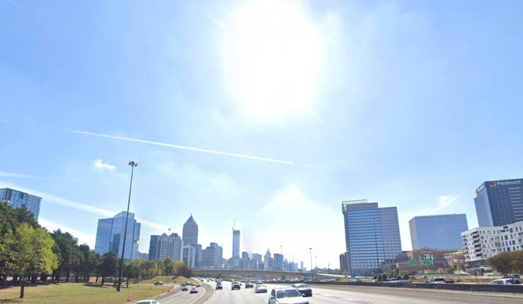
Atlanta starts Wednesday under clear skies near 73 degrees, but the calm morning will give way to another hot afternoon. Temperatures are expected to reach 92, with the heat index rising to 97 before showers and thunderstorms become possible after 1 p.m.
Storms Arrive After Lunch
Rain chances rise to about 30% Wednesday afternoon, with scattered storms capable of frequent lightning, gusty winds and locally heavy rainfall. Southeast winds should remain light at 5 mph or less, but a quick downpour could still complicate afternoon errands and outdoor plans.
Wednesday night stays partly cloudy with a low near 72 and another 30% chance of showers and thunderstorms. The National Weather Service says no watches, warnings or advisories are currently posted for the Atlanta forecast area.
Thursday Brings A Bigger Rain Concern
Thursday will be slightly cooler, with a high near 90, but it is shaping up to be the wetter and more consequential day. A 50% chance of showers and thunderstorms is forecast, and slow-moving storms could produce heavy rain and localized flash flooding across North Georgia.
Forecasters have placed much of North Georgia under a slight risk for excessive rainfall, or Level 2 of 4. Friday remains unsettled with an 88-degree high and a 70% chance of showers and thunderstorms, keeping the wet stretch going after the shift from the drier setup noted by Hoodline earlier this month.
Weekend Storm Chances Ease
Saturday and Sunday should bring highs near 88 with partly sunny skies and a 30% chance of afternoon or evening storms. Monday turns mostly sunny near 90, while Tuesday climbs back to about 93 with only a slight afternoon storm chance.
Anyone caught outside during thunder should move indoors rather than wait for a storm to pass nearby. With the heaviest rain risk arriving Thursday, drivers should also be prepared for ponding water and suddenly reduced visibility in stronger downpours.





