

























































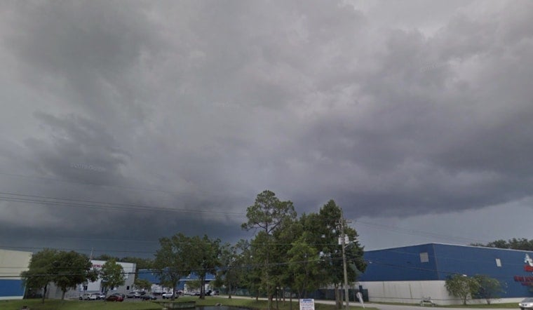
Jacksonville is starting Friday in the mid-70s, but the quiet morning will give way to a much stormier afternoon. Temperatures should reach near 90 degrees before showers and thunderstorms bring heavy rain, gusty winds and a noticeable cool-down.
Rain chances rise after noon and peak during the afternoon, with some storms capable of dropping a quarter- to half-inch of rain. The main concern is localized flooding, especially where downpours linger over urban roads and low-lying areas.
Storms Build Through Friday Afternoon
The National Weather Service Jacksonville says the heat index could reach 102 degrees before storms become more widespread. Southwest winds will run 6 to 10 mph, with stronger thunderstorms potentially producing wind gusts of 40 to 50 mph.
Storm activity should gradually fade after sunset, though showers and thunderstorms will remain likely into Friday night. Skies may partially clear after midnight, with temperatures settling near 75 degrees.
Weekend Storm Chances Stay High
Saturday brings a high near 89 degrees, a heat index up to 103 and a 60% chance of showers and thunderstorms, mainly after late morning. Sunday looks similar, with storms likely from late morning through the afternoon and another high near 89.
The strongest weekend storms are expected to favor inland areas toward the I-75 corridor, though Jacksonville and other urban parts of the I-95 corridor could still see sudden heavy rain. The wetter setup is a meaningful shift from the earlier outlook, which called for a more typical run of afternoon storms, as Hoodline previously reported.
Beachgoers Face Moderate Rip-Current Risk
A moderate rip-current risk continues at area beaches, with breakers expected to run around 2 to 3 feet over the weekend. Anyone heading to the coast should check beach conditions, stay near lifeguards and move indoors as soon as thunder is heard.
Storm chances ease somewhat next week but do not disappear: Monday through Thursday bring highs from 89 to 91 degrees and daily chances for showers and thunderstorms. No watches or warnings are currently posted.





