

























































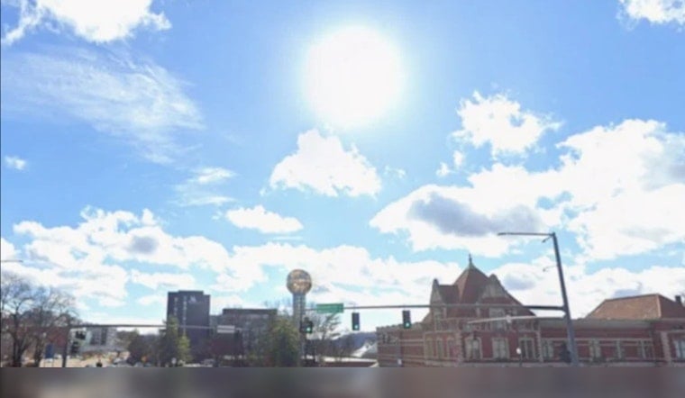
Knoxville is starting Sunday, August 16, under mostly clear skies and around 75 degrees, but the easy morning is setting up for a dangerous afternoon. Temperatures are expected to reach 95 degrees, with the heat index climbing as high as 105.
Sunday Brings Peak Heat
Sunny skies and light southwest winds of 5 mph or less will keep conditions quiet and hot, with only a 2% chance of rain. A Heat Advisory remains in effect through 8 p.m. Monday, August 17, as heat-index values near or above 105 become common across parts of East Tennessee, according to NWS Morristown.
Residents should limit strenuous outdoor activity during the afternoon, drink plenty of water and take breaks in air conditioning or shade. Children, older adults, outdoor workers and anyone with health conditions tied to heat should be checked on during the hottest part of the day.
Monday Storms Could Turn More Serious
Monday, August 17, will remain hot, with a high near 94 and heat-index values again reaching about 105. Showers and thunderstorms could begin between 2 and 4 p.m., becoming more likely later in the afternoon and evening, with a 60% chance of precipitation.
The weather service warns that some storms could produce damaging straight-line wind gusts, while large hail and an isolated tornado cannot be ruled out. Brief heavy rain and localized flooding are also possible, so outdoor plans should include a reliable way to receive changing weather alerts.
Heat Eases Slightly Tuesday
A front moving through Monday night should bring somewhat cooler and less humid conditions Tuesday, when Knoxville is forecast to reach 91 degrees under mostly sunny skies. The heat will return Wednesday with a high near 93, followed by a more unsettled stretch from Thursday through Saturday, when highs should stay near 88 to 91 and rain chances rise to around 40%.
Overnight lows should fall from the mid-70s Sunday night to the upper 60s and low 70s later in the week. The forecast favors a modest temperature dip rather than a true cooldown, with plenty of summer heat still on the schedule.




