

























































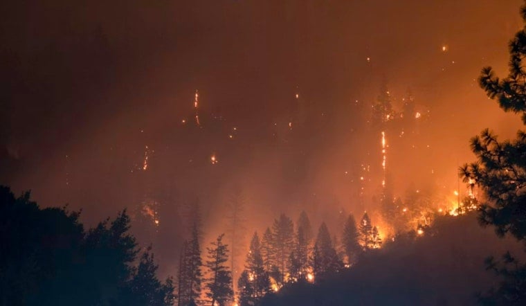
A vegetation fire northeast of Red Bluff grew to 35 acres Monday night, sending a large CAL FIRE response into the Highway 36 corridor as crews worked to slow its spread. Firefighters reported progress after the blaze briefly showed a moderate to dangerous rate of spread and began spotting ahead of its main edge.
According to Action News Now, the Manton Fire was first reported around 7:08 p.m. Monday near Highway 36, northeast of Red Bluff. The report said there were no evacuation warnings or orders associated with the fire at that time.
CAL FIRE’s incident page listed the blaze at 35 acres and 0% containment, with the cause under investigation. The fire’s location was identified as Manton Road and Highway 36 East near Dales, and officials said the rate of spread had slowed to slow-to-moderate by 7:39 p.m.
Air Tankers And Ground Crews Join Tehama County Fight
The response included 107 personnel, nine engines, three dozers, nine water tenders, four crews and two helicopters, according to CAL FIRE. Numerous air tankers from around California were also flying suppression missions as conditions allowed, while crews focused on a spot fire of roughly one acre in front of the main fire.
Manton Fire Risk Remains A Local Concern
The new fire comes as Tehama County continues working on long-term wildfire defenses around Manton. A filing from the Sierra Nevada Conservancy described a project intended to create a 630-acre defensible perimeter around the community, including vegetation treatment across 310 acres along six strategic roads.
The same filing described the Manton area as having dense forest, heavy brush and ladder fuels, along with steep terrain and frequent summer drought. That background helps explain why a fire that began in vegetation near a major east-west route drew a sizable air-and-ground response before it could grow larger.
Residents near the fire should continue checking official evacuation information rather than relying on the initial status. Tehama County Fire directs residents to county evacuation maps and incident information, while CAL FIRE cautions that its incident pages are not designed to provide minute-by-minute evacuation or fire-behavior updates.




