

























































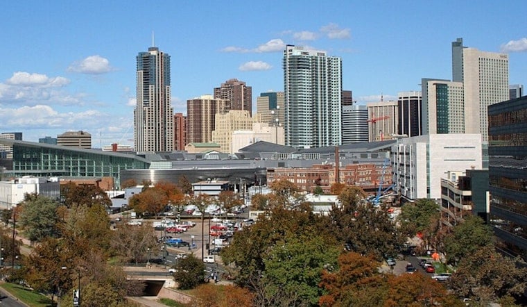
Denver is starting Tuesday, August 25, with clear skies and temperatures in the mid-60s, but the calm morning is only a brief intermission. Mostly sunny skies will push the city toward 88 degrees before scattered afternoon thunderstorms arrive.
Storms Arrive After Lunch
Rain chances begin to tick up around 1 p.m., with thunderstorms more likely from midafternoon into early evening. The forecast puts the overall chance at 50%, and activity is expected to wind down around 7 p.m., with new rainfall generally staying below a tenth of an inch.
The National Weather Service in Denver/Boulder says storms could produce gusty outflow winds, with the strongest cells capable of 40 to 50 mph gusts. Hail and isolated pockets of locally heavy rain are also possible, particularly as storms move east toward the plains.
Wednesday May Bring Bigger Storm Concerns
Wednesday looks slightly cooler, with a high near 86 and a 40% chance of showers and thunderstorms after 2 p.m. The weather service says the combination of moisture and stronger winds aloft could support a few severe storms, with large hail and strong outflow winds the main concerns.
The forecast currently lists no watches, warnings or advisories for the Denver area. Anyone with outdoor plans Tuesday or Wednesday should keep an eye on changing skies and have a quick indoor option ready once thunder is heard.
Weekend Heat Comes Roaring Back
The brief cooldown will not last long: Thursday reaches about 90, followed by highs near 95 Friday and 96 Saturday. Rain chances look limited during the hottest stretch, though a few afternoon storms remain possible.
Sunday brings a small step down to around 91 degrees, but storms become more likely after noon, with a 60% daytime chance in the forecast. Monday stays warm near 88, with another chance for afternoon thunderstorms.





