

























































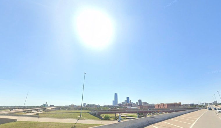
Oklahoma City is waking up to clear skies Monday before temperatures surge toward 99 degrees, with the heat index reaching about 101. The short-lived morning cool-down will give way to a hot, sunny afternoon and a warm night with a low near 74.
Tuesday looks even hotter, with a high near 102 and another mostly clear night settling to around 77 degrees. Wednesday will remain dangerously hot near 101, keeping the first half of the week focused more on finding shade than finding a jacket.
Triple-Digit Heat Dominates the Workweek
Monday’s south wind will run about 6 to 9 mph, while Tuesday’s southerly breeze will be near 9 mph. The National Weather Service says elevated fire-weather conditions are expected Monday and Tuesday in western Oklahoma and western north Texas, while Oklahoma City’s forecast remains dry with no rain expected through Wednesday.
Residents spending time outside should plan strenuous activities for the morning or evening, drink plenty of water and take regular breaks in air conditioning. The City of Oklahoma City’s extreme-heat resource hub includes safety guidance and information pointing residents toward cooling-center resources.
Rain Chances Return Late This Week
The pattern finally loosens its grip Thursday, when mostly sunny skies and a high near 99 come with a 30% chance of rain. Showers and thunderstorms become slightly more likely Thursday night and Friday, with a 40% chance both periods and Friday’s high easing to around 95.
Saturday should stay mostly sunny near 95 with only a 20% rain chance, followed by a sunny Sunday near 97. The National Weather Service Norman forecast lists no watches, warnings or advisories for Oklahoma in the current outlook, but the heat remains the main concern for Oklahoma City through Wednesday.





