

























































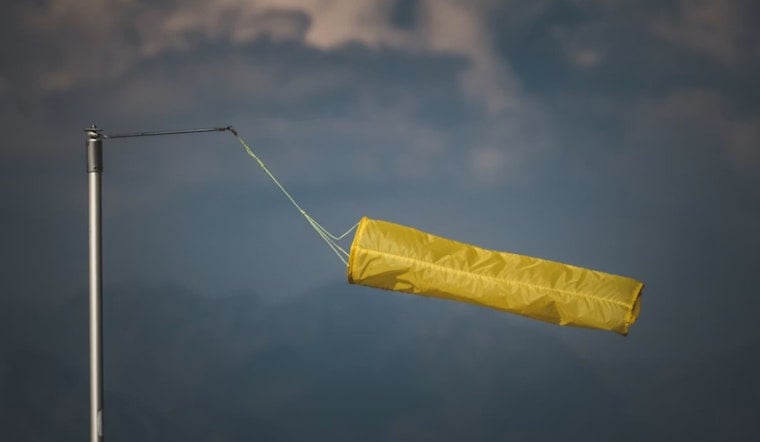
Raleigh is starting Saturday with partly cloudy skies and temperatures in the low 70s, but the calm will not last all week. Highs should climb to around 89 degrees this afternoon, with a south breeze and little chance of rain. By Sunday, showers and thunderstorms take over the forecast, bringing muggy heat, heavier downpours and a localized flooding concern.
Saturday Stays Mostly Dry
Saturday afternoon should remain partly sunny to mostly cloudy, with south winds from 2 to 9 mph and only a 3% chance of rain. Temperatures ease back to around 72 overnight, though a few showers could develop after 4 a.m. Sunday as southeast winds strengthen, with gusts reaching 20 mph.
The National Weather Service in Raleigh says the pattern turns unsettled Sunday and may stay active through at least Wednesday. There are no watches, warnings or advisories listed for the Raleigh area right now.
Storms Arrive Sunday And Keep Returning
Sunday brings a 70% chance of showers and thunderstorms, with rain possible early before storms become more likely from the morning into the afternoon. The high should still reach 89 degrees, but the heat index could approach 100, making the air feel significantly hotter than the thermometer suggests.
Storm coverage increases Sunday night, when the rain chance rises to 80% and rainfall totals could reach one-half to three-quarters of an inch. Some storms may repeatedly pass over the same neighborhoods, raising the risk of brief street flooding and slower travel.
Wet Stretch Continues Into Midweek
Monday remains stormy with an 80% rain chance and a cooler high near 85, followed by another unsettled night. Showers and thunderstorms remain likely Tuesday and Wednesday, with highs in the mid-80s and rain chances of 70% and 60%, respectively.
Conditions may ease somewhat Thursday and Friday, though afternoon and evening thunderstorms remain possible both days. For weekend plans, Saturday is the better outdoor window; from Sunday onward, keep a weather app handy and avoid driving through water-covered roads during the heaviest downpours.




