

























































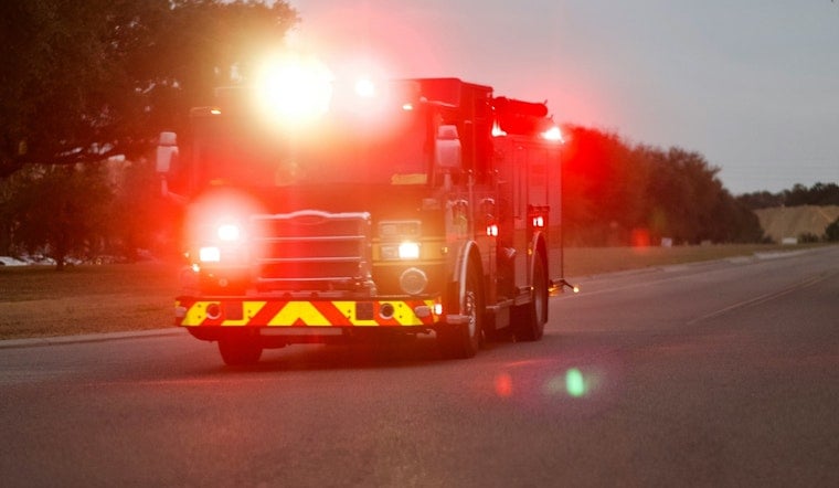
A new wildfire dubbed the Riders Fire was first discovered Thursday morning at 10:08 a.m. burning on private land in Shasta County, California, with no information yet available on its size, cause, or containment. The blaze was reported by the National Interagency Fire Center, the federal clearinghouse that tracks wildfire activity across the country.
The Riders Fire is the latest in a string of Shasta County ignitions to surface first through automated federal dispatch logs rather than a formal CAL FIRE briefing, according to the Sacramento Bee, which first reported the fire. As of the Bee's 10:48 a.m. update, no cause had been determined and no containment percentage had been released. That pattern of zeroed-out initial data is not unusual for private-land blazes in the county — the same reporting lag showed up earlier this month with the Glide Fire, and in March with both the Still Fire and the Carlie Fire, as Hoodline has previously reported. Federal clearinghouses typically post a timestamped entry well before local ground crews finish mapping a fire's perimeter or determining what sparked it.
A Fire Season Already Stretching National Resources Thin
The Riders Fire ignited while the country remains at National Preparedness Level 5, the highest tier on the scale, a status the National Multi-Agency Coordination Group set in mid-July due to widespread fire activity nationwide, per the National Interagency Fire Center. More than 21,800 personnel were deployed across the country as of late August, meaning aerial assets and specialized ground crews were already heavily committed when this latest Shasta County fire broke out. By late August, firefighters nationwide had responded to 51,434 wildfires that burned more than 7.9 million acres — 127% of the 10-year average for fire starts and 164% of the average for acreage burned, according to the fire center's own figures.
California's own numbers tell a somewhat different story. Through mid-August, the state recorded 4,731 wildland fires burning 260,043 acres across combined CAL FIRE and U.S. Forest Service jurisdictions, well below the five-year average of 6,056 fires and 558,764 acres for the same stretch of the calendar, according to CAL FIRE. Even so, late-summer heat and dry fuels have kept localized fire risk elevated in Northern California, and Shasta County has already seen its share of activity this summer.
A Summer Already Marked by Local Wildfire Activity
Before the Riders Fire ignited, CAL FIRE's Shasta-Trinity Unit had already responded to several wildland incidents this summer, including the 366-acre Brook Fire in mid-July, which triggered temporary evacuations near Bella Vista, and the smaller, 40-acre Alturas Fire. Aggressive air and ground attacks by local and state crews kept those fires from reaching dense residential areas, according to CAL FIRE incident records. It remains unknown whether the Riders Fire threatens any structures or evacuation zones, or whether CAL FIRE Shasta-Trinity Unit ground crews have established containment lines — details that were not available in the initial report.
The cause of the Riders Fire has not been determined. CAL FIRE's Shasta-Trinity Unit 2026 Fire Plan notes that arson traditionally accounts for roughly 15% of annual ignitions in the unit, though that share spiked to 29% (65 fires) in 2021 and 20.7% (42 fires) in 2022, as Hoodline has reported previously. CAL FIRE law enforcement personnel routinely open formal origin-and-cause investigations on new county ignitions, though no such determination has been announced for this fire. Unit officials have also warned this summer that unmaintained vehicles, dragging trailer safety chains, and motorized yard equipment operating on dry grass are common triggers for roadside ignitions during peak heat, prompting mutual-aid responses from nearby municipal departments.
Why Shasta County Fires Draw Immediate Attention
Any new wildfire report in Shasta County tends to provoke rapid concern, a legacy of the catastrophic 2018 Carr Fire, which burned 229,651 acres, destroyed 1,604 structures, killed eight people, and produced a rare 165-mph fire tornado near Redding, according to ProPublica. That fire caused more than $1.5 billion in economic losses, disaster relief, and insurance claims across the region. FEMA now assigns Shasta County a wildfire risk score of 99.5 out of 100 in its National Risk Index, projecting $35.4 million in expected annual wildfire losses, with more than half of the county's populated areas sitting in designated severe or high fire hazard zones, per research from Satelife.
To speed up response on new fires like this one, CAL FIRE selected the Shasta-Trinity Unit in late 2025 as one of the state's initial pilot regions for the Automatic Vehicle Location 3.0 system, which equips roughly 250 response vehicles with satellite- and cellular-connected tablets for real-time dispatch and positioning. The technology is designed to let dispatchers coordinate CAL FIRE units, municipal departments, and volunteer fire districts more seamlessly during fast-moving incidents. For now, the Riders Fire remains an open question: its size, cause, and containment status are all still unknown, and updates are expected as CAL FIRE crews complete their assessment on the ground.





