

























































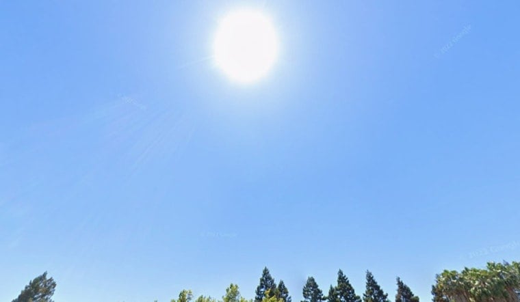
Sacramento is waking up clear and around 57 degrees Sunday, but the afternoon will feel far more like late summer, with sunshine and a high near 90. The warm finish is brief: Monday brings a noticeable cooldown, followed by even milder temperatures Tuesday.
Sunday Heat Gives Way To A Breezy Monday
Temperatures should climb quickly, reaching about 78 degrees around noon and the upper 80s by midafternoon before peaking near 90. South-southwest winds will stay light Sunday at 2 to 6 mph, and the chance of rain is zero, according to the National Weather Service.
The latest outlook is a slight adjustment from an earlier Hoodline forecast that called for an 88-degree Sunday. That earlier outlook is available in this weekend forecast.
Monday will top out near 81 under sunny skies, but the breeze will be more noticeable, with southwest winds of 7 to 12 mph and gusts reaching 22 mph. Monday night stays mostly clear with a low around 56, while gusts could still reach about 21 mph.
Dry Weather Holds Through Saturday
Tuesday looks like the coolest day of the stretch, with a sunny high near 77. Highs then rebound modestly to about 81 Wednesday, 84 Thursday, 85 Friday and 86 Saturday, while overnight lows remain mostly in the mid-to-upper 50s.
The National Weather Service says elevated fire weather conditions are expected Monday afternoon and early evening in the northern Sacramento Valley, northeastern foothills and Burney Basin because of low humidity and breezy winds. Sacramento’s forecast area has no active watches, warnings or advisories, but dry conditions make it smart to avoid sparks and keep outdoor flames under control.
For Sacramento residents, Sunday’s hottest hours will arrive in the midafternoon, making early morning and evening the easier windows for exercise, errands and outdoor plans. The broader forecast discussion also hints at unsettled weather and possible precipitation late next week, though the timing and amounts remain uncertain.




