

























































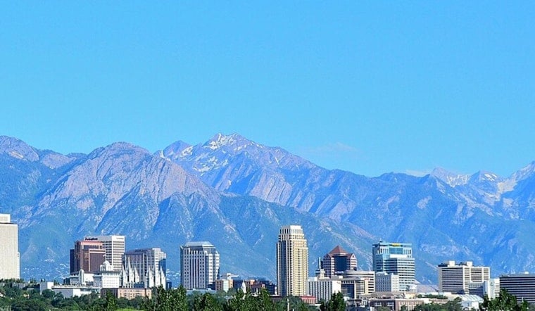
Salt Lake City is waking to clear skies and temperatures near 77°F Tuesday morning, but the calm start leads into a hotter stretch. The high is expected to reach about 93°F, with mostly sunny skies and only a 7% chance of rain.
Heat Builds Through Thursday
Wednesday should climb to 95°F, followed by a high near 99°F Thursday, the warmest day in the immediate outlook. Friday will remain close behind at 98°F, while overnight lows range from the upper 60s to the mid-70s.
Dry Days Give Way To Weekend Storm Chances
Rain chances stay minimal Wednesday through Friday, but the pattern becomes more unsettled late in the week. The forecast calls for a 30% chance of showers and thunderstorms Friday night, followed by another chance after noon Saturday and slight chances Sunday and Monday.
Light Valley Winds, Fire Weather Elsewhere
Salt Lake City’s daytime winds are expected to remain generally light, around 5 to 7 mph, with a possible shift from southerly to northwesterly Tuesday afternoon. The National Weather Service says gustier winds and low humidity could create elevated to locally critical fire-weather conditions mainly across central and southern Utah Tuesday, while no watches or warnings are posted for the Salt Lake Valley.
Plan Around The Afternoon Heat
Temperatures will rise through the 80s by midday and hover around 91°F from midafternoon into early evening. Outdoor plans will be more comfortable before noon or after sunset, and anyone spending time outside should bring water and take breaks from the heat.
The weekend storms may bring more moisture than the isolated showers earlier in the week, but thunderstorms can still produce sudden downpours, lightning, and gusty outflow winds. People heading into exposed or flood-prone areas should keep an eye on updated forecasts as storm chances increase.





