

























































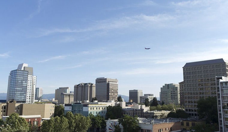
San Jose starts today clear and around 61 degrees, but the South Bay is headed for a hot afternoon near 88 before the week turns sharply cooler. The warmest stretch arrives from roughly 1 to 5 p.m., when sunny skies and light northwest winds push temperatures into the mid-to-upper 80s. Rain is not part of today's plan.
Heat Peaks Monday Before The Cooldown
Tomorrow stays sunny with a high near 86, then Wednesday drops to about 82 and Thursday to 77. Overnight lows will ease from around 61 tonight to the upper 50s by Thursday and through the weekend, while skies remain mostly clear or partly cloudy.
According to the National Weather Service, stronger onshore flow and a deeper marine layer will drive the cooling trend. For San Jose, that mostly means cooler afternoons and potentially gray starts later in the week; the broader Bay Area forecast also carries a low, up-to-10% chance of an elevated shower or thunderstorm Wednesday and Thursday, mainly across southern and eastern areas.
Afternoon Winds Raise Fire Concerns In Higher Terrain
City winds should be modest today, generally 3 to 8 mph, shifting from southwest to west and northwest through the afternoon. But the weather service says gusts could reach 30 mph through gaps, passes and ridgelines, with dry conditions and low afternoon humidity raising fire-weather concerns in higher terrain.
That concern is aimed more at foothills and mountain corridors than downtown San Jose, but anyone heading into brushy areas should avoid outdoor flames, use care with spark-producing equipment and secure loose items as winds pick up.
Bayshore Flooding Remains A Separate Concern
The National Weather Service also has a Coastal Flood Advisory through 2 a.m. Thursday for bayshore locations along San Francisco Bay, San Pablo Bay and Monterey Bay. This is not a citywide San Jose flood forecast, but it could affect low-lying waterfront areas and evening or overnight travel near the shoreline during the highest tides.





