

























































Las Vegas was clear and around 86 degrees early Wednesday, but the calm will not last all day. Highs should reach near 99 degrees before afternoon thunderstorms become the main weather story across the valley.
Storms Could Disrupt The Afternoon
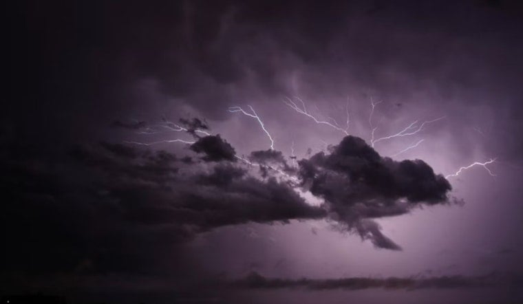
Showers and thunderstorms are most likely from midafternoon into the evening, with rain chances climbing to about 50% between 2 p.m. and 4 p.m. Storms may bring sudden downpours, lightning, gusty winds and localized flooding, especially in low-lying areas and spots with poor drainage.
The latest forecast from the National Weather Service in Las Vegas also calls for southeast winds of 3 to 12 mph Wednesday, with gusts up to 20 mph. A separate Flash Flood Watch is in effect for Mohave County, Arizona, while the Las Vegas Valley remains at risk for more localized storm impacts.
Rain Chances Ease Before Heat Returns
Thursday should stay near 99 degrees with a smaller chance of afternoon thunderstorms, followed by a cooler Friday with a high around 97 and another 50% chance of storms. Saturday returns to about 99 degrees, with only a slight storm chance.
Sunshine takes over Sunday with a high near 102, and the heat builds to around 105 on Monday and Tuesday. Overnight lows will range from the upper 70s to the mid-80s through the weekend, so outdoor plans may be more comfortable early in the day than during the afternoon heat.




