

























































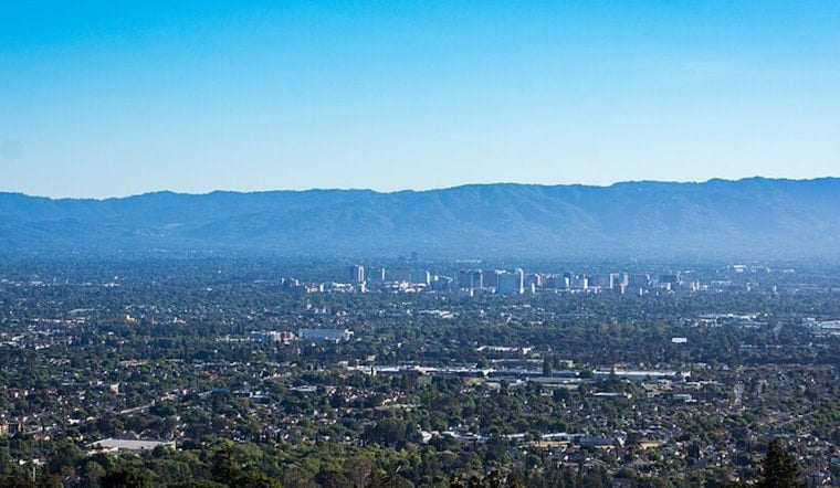
San Jose is starting today, under clear skies and a cool 61 degrees at Mineta San Jose International Airport, but the day will turn mostly sunny and reach about 80 degrees. Patchy smoke is expected between 8 a.m. and noon before visibility improves, while southerly winds remain generally light to moderate. The bigger weather shift arrives Thursday, when the South Bay high drops to around 72 degrees.
Smoke Clears By Noon
The morning could look hazier than the forecast temperature suggests, with smoke drifting into the area during the commute and early outdoor plans. After midday, skies should brighten, with temperatures reaching the upper 70s to around 80 before easing slightly late in the afternoon, according to the National Weather Service.
Wednesday night will be partly cloudy with a low near 59 degrees, and another patch of smoke could develop between 3 a.m. and 5 a.m. tomorrow. South-southwest winds may gust as high as 22 mph overnight, so the air could feel noticeably more active than the daytime forecast suggests.
Cooler Through Friday, Then A Mild Rebound
Tomorrow looks partly sunny and much cooler, with a high near 72 degrees and southwest winds around 10 mph, including gusts up to 20 mph. Friday stays mostly sunny with a high near 73, while overnight lows dip into the mid-to-upper 50s.
The weekend brings a modest warm-up rather than a return to summer extremes. Saturday through Tuesday should feature highs near 76 degrees, with patchy morning fog or low clouds giving way to mostly sunny or partly sunny afternoons.
Fire Weather And High-Tide Concerns Continue Nearby
A low-probability but potentially serious thunderstorm setup is focused farther south in Monterey and San Benito counties this afternoon into early tomorrow. The National Weather Service says any high-based showers or thunderstorms could produce lightning and erratic outflow gusts of 35 to 45 mph, raising the risk of new fire starts in dry higher terrain.
Smoke from the Timber Fire may also be more noticeable overnight and during the morning, especially where cooler air traps it near the ground. A coastal flood advisory remains in effect through 2 a.m. tomorrow for some bayshore locations around San Francisco Bay, San Pablo Bay and Monterey Bay, with minor flooding possible during the highest evening and overnight tides.





.jpg)