

























































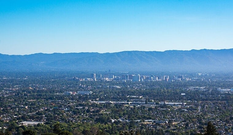
San Jose is waking up cloudy and cool today, with temperatures around 61 degrees before a sunny afternoon climbs to about 86. Patchy smoke is expected from roughly 8 a.m. to 2 p.m., giving the South Bay a hazy start before skies clear.
Afternoon Winds Pick Up
Westerly to northwesterly winds will run between 2 and 8 mph, becoming more noticeable later in the afternoon. The rain chance is essentially zero in San Jose, so outdoor plans should stay dry once the smoke thins, according to the National Weather Service.
A Midweek Cooldown Arrives
Tonight will be partly cloudy with a low near 60, followed by a high around 81 tomorrow. Patchy smoke may linger before 9 a.m., while Thursday brings a sharper drop to about 73 under mostly sunny skies.
Storm Risk Stays Mostly South And East
San Jose's daily forecast keeps rain chances near zero tomorrow, but forecasters are watching a low-probability setup for elevated showers or thunderstorms across parts of the Central Coast, especially farther south and east. Any storms could bring lightning and sudden, erratic wind gusts, which may create a fire-start risk in dry areas.
Cooler Days Hold Through The Weekend
Highs should settle in the mid-70s from Friday through Monday, with overnight lows dipping into the mid- to upper 50s. Patchy morning fog is possible Sunday and Monday before afternoons turn partly sunny.
People heading toward the Bay or Monterey Bay shoreline should also note that minor coastal flooding is expected at some bayshore locations through early Thursday morning. The advisory does not describe a citywide San Jose threat, but it could affect low-lying waterfront plans.





.jpg)