

























































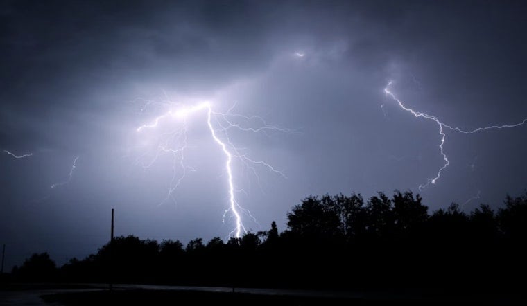
Jacksonville is starting Monday under mostly cloudy skies and muggy conditions, with temperatures around 77°F before a stormy day unfolds. Rain showers are expected before 10 a.m., followed by multiple rounds of showers and thunderstorms through the afternoon. The temperature should reach about 88°F before falling into the mid-80s as clouds and storms build.
Rain Arrives Before The Afternoon Commute
Showers may linger through the morning, with thunderstorms becoming more likely late in the morning and again from noon through 4 p.m. Southwest winds will run 10 to 15 mph, with gusts up to 23 mph, and rainfall totals of a quarter to half an inch are possible. Wet roads, reduced visibility and sudden downpours could complicate travel.
Flooding And Strong Wind Threats West Of I-75
In its latest discussion, the National Weather Service Jacksonville said repeated storms could produce localized flooding, especially near and west of the I-75 corridor. A Flood Watch remains in effect through Monday evening for locations west of I-75, where another 1 to 3 inches of rain could fall, with locally higher amounts possible. Isolated strong storms may also produce damaging wind gusts of 40 to 60 mph, frequent lightning and abrupt wind shifts.
Heat Returns Tuesday As Storm Chances Stay Daily
Monday night brings another chance of showers and thunderstorms before 8 p.m., with mostly cloudy skies and a low near 75°F. Tuesday will be hotter, reaching about 91°F with heat index values as high as 102°F, while storms become likely after 11 a.m. Wednesday through Sunday will remain warm, with highs from 89°F to 92°F and daily storm chances, including a 60% chance on Saturday and Sunday.
Later in the week, an onshore flow may push the afternoon sea breeze farther inland, giving the beaches and the I-95 corridor somewhat lower storm chances than inland areas. Still, lightning and heavy rain can develop quickly, so outdoor plans across the Jacksonville area should include a reliable way to monitor changing skies.





